The natural arches at Arches National Park near Moab, Utah
were a source of curiosity that entranced me. I wondered how
were they formed? The ranger’s explanation of "wind
erosion" seemed hopelessly naive.

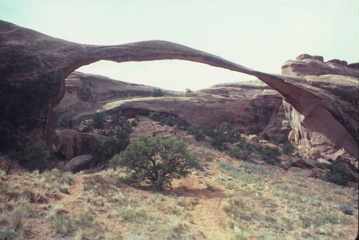
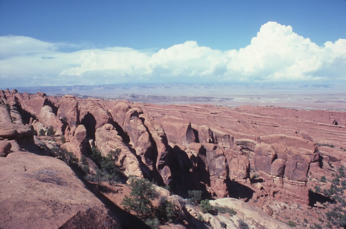
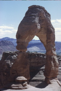
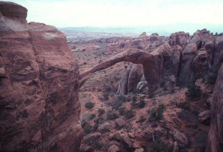
The longest span at Arches is Landscape Arch, shown here.
It stretches 291 feet across, just about the length of a football
field. In 1973 Steve Tetreault and I managed to climb out onto
it, finding it narrows to just 6 feet wide! Climbing on the
arch is no longer permitted.
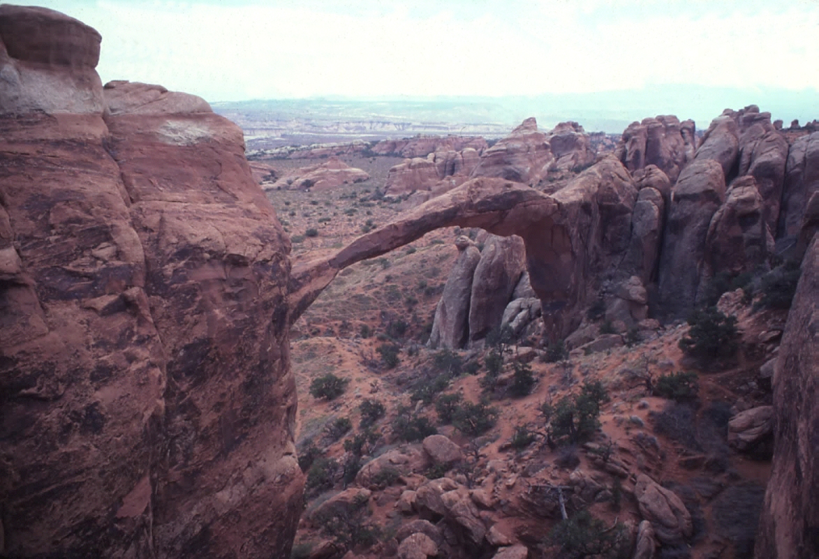
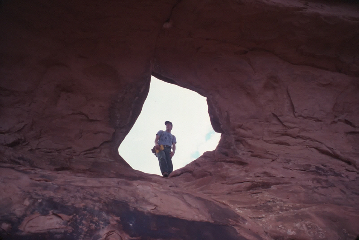
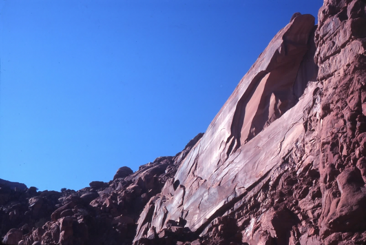
View of
Landscape Arch from upslope, showing the precipitous neck we tried
to cross when we climbed onto the arch! The dumb things young men
do....

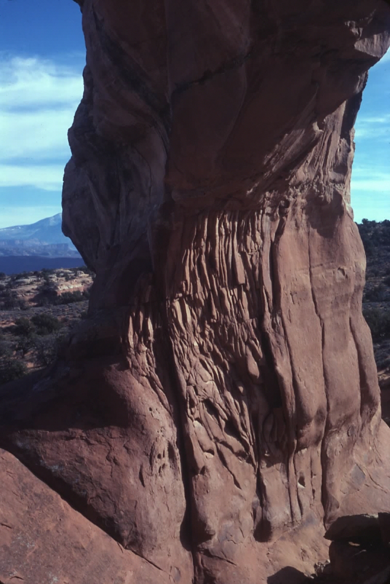
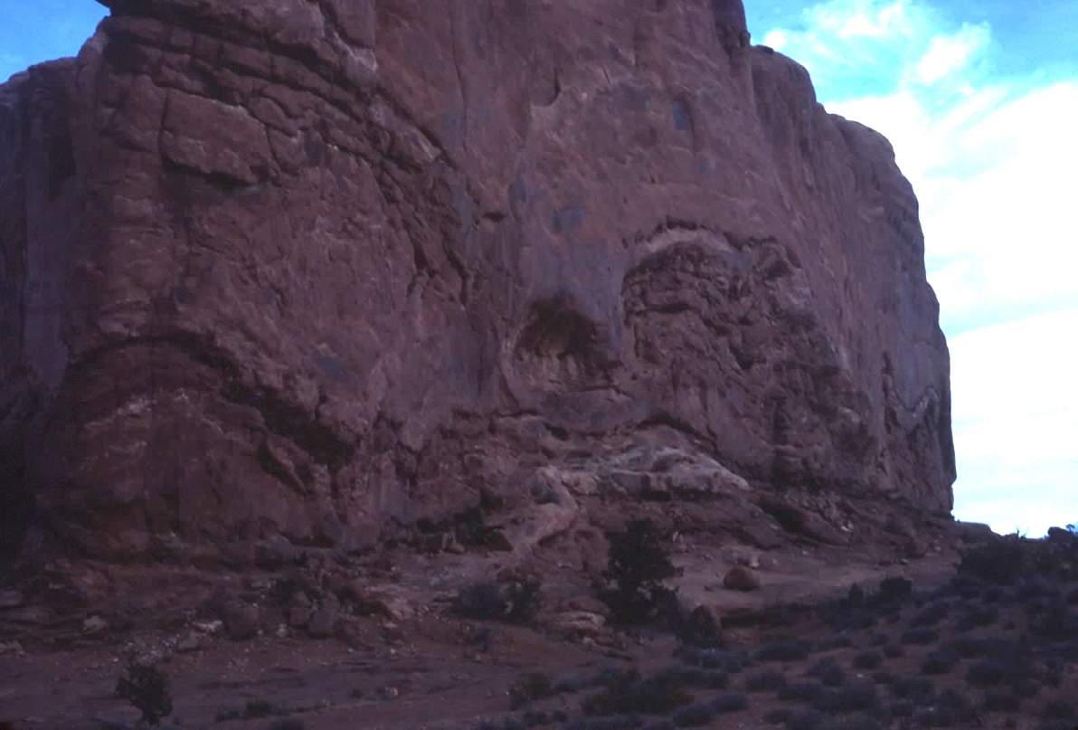
Detail view of the prolific exfoliation exposed in the opening
of Wall Arch at Arches Park. To me, the exfoliation joints seemed
responsible for the openings, not wind erosion.
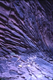
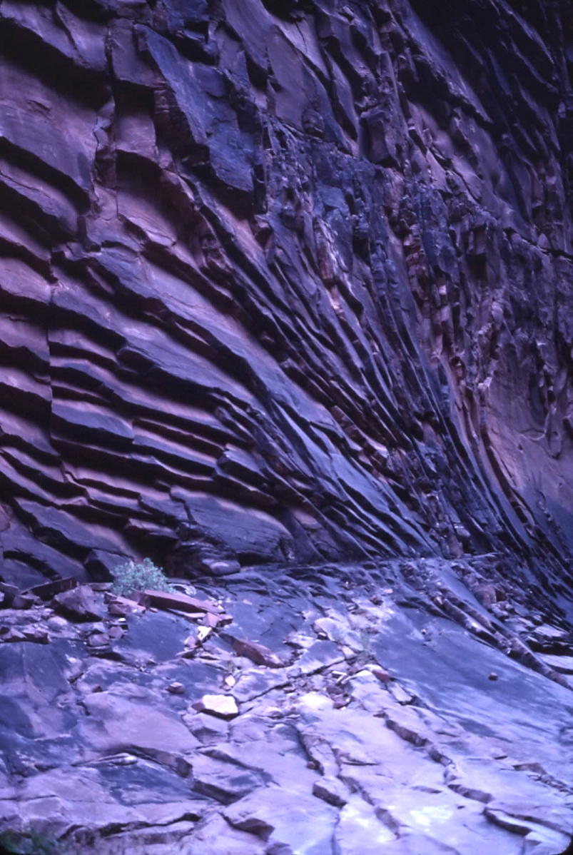
While exploring the Grand Canyon I also came across
numerous examples of profuse exfoliation, especially in the Esplanade
Sandstone, shown here in North Canyon, a tributary of Marble Canyon.
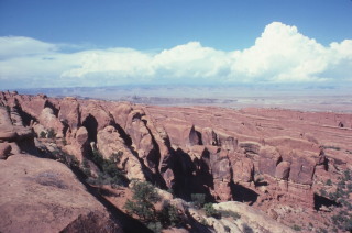
Arches Park is unique in the development of lenticular sandstone
"fins" developed within the Slickrock and Dewey Bridge members
of the Entrada sandstone. These were formed by the dilation
as an enormous salt diapir pushed itself up along the axis of Salt
Creek, northwest of Moab, Utah.
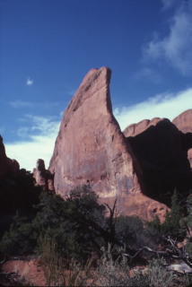
Ground view of a single fin at Arches Park. They were
aligned in a northwest-southeast azimuth, parallel to the Salt Creek
diaper, which subsequently dissolved, causing the valley to collapse
on itself.

In September 1977 I began mapping and sampling in Arches National
Park, in anticipation of the project becoming the focus of my doctoral
studies at Berkeley.

In the beginning I focused on obtaining representative specimens
from each of the beds above, within and immediately beneath most of
the prominent arches. I spent the month of December 1977 mapping and
sampling.
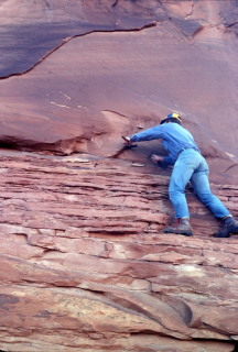
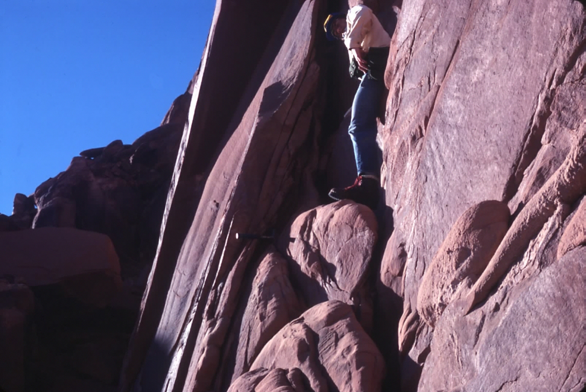
In most of the arches I examined the degree of fracturing
varied markedly between the three beds bounding the openings.
Here I am sampling a bed in the Slickrock member which exhibits little
secondary fracturing, while the bed I am standing on exhibits profuse
fracturing.

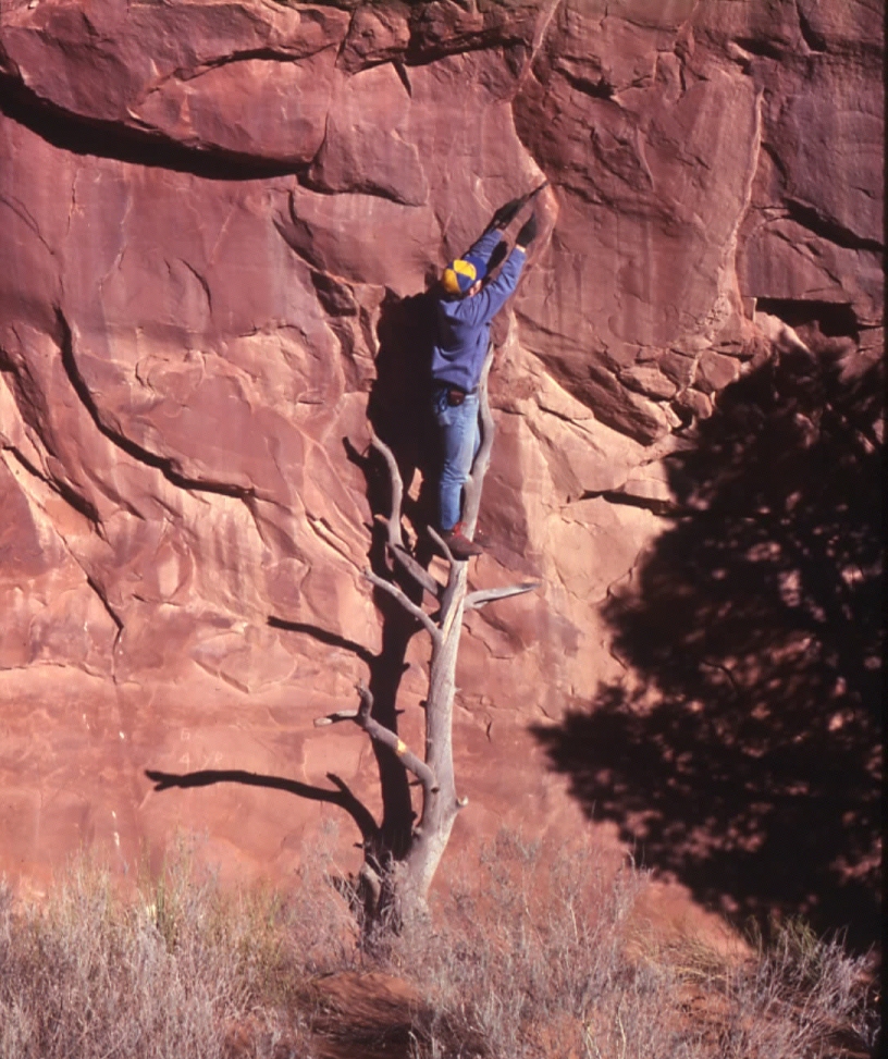
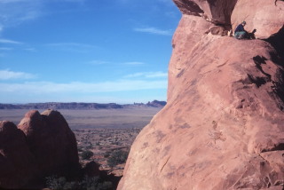
The work at Arches Park involved a lot of rock climbing, but
without any permanent aids (no pitons were allowed). The Park
Service was very cooperative and supportive of academic research in
those days. You can barely make me out up on the cliff in this
Dec 1977 view (arrow).
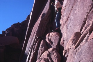
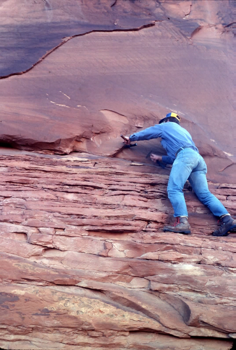
This is what things looked like up on the cliff face pictured
above. I am mapping “secondary joints”; the term
I gave to those joints that form in response to topography and erosion,
separate and distinct from regional systematic joints, which pervade
every rock mass.
One of the most intriguing aspects of cliff morphology in
the Colorado Plateau is the influence of discrete shale seams on cliff
morphology. This view shows me sampling a one-inch thick shale seam
next to Skyline Arch. Most of these seams were severely slickensided.

One of the most unusual features I mapped at Arches Park were
these enormous paleoliquefaction structures, which looked like gigantic
sand boils, petrified in time. 20 years later Walter Alvarez
at U.C. Berkeley explained these as the result of a nearby meteorite
impact during the Jurassic Period. I mapped similar features in upper
Lake Powell, though more subdued.
Questions or comments
on this page?
E-mail Dr. J David Rogers at rogersda@mst.edu.