USE
OF PALYNOLOGY TO DATE LANDSLIDES
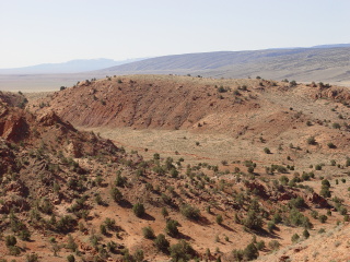
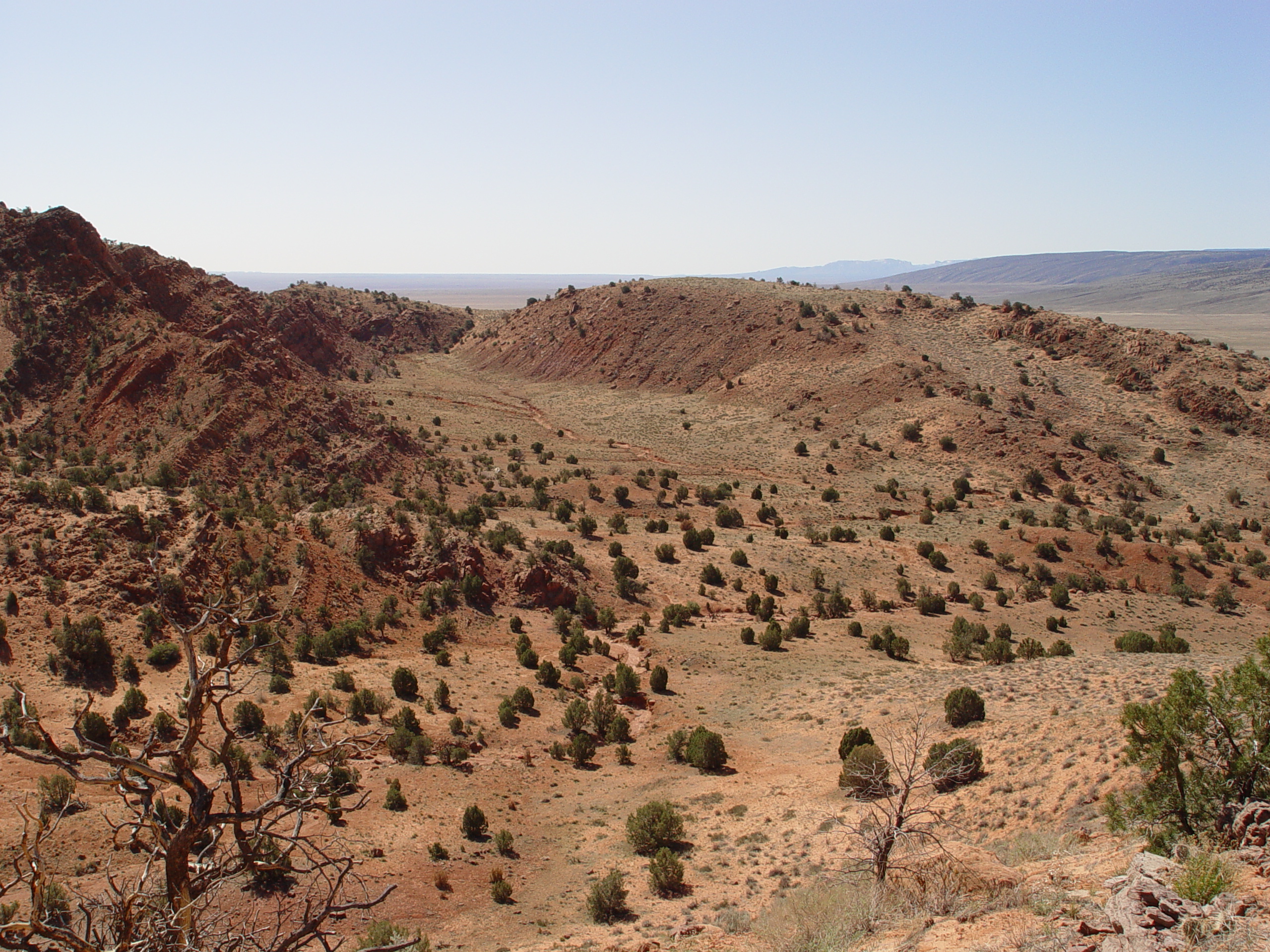
Some large headscarp grabens grabens behind the landslides formed
closed depressions. These basins trapped sediment washed down
from the cliffs above, capturing pollens in the bottom of shallow
ephemeral ponds.
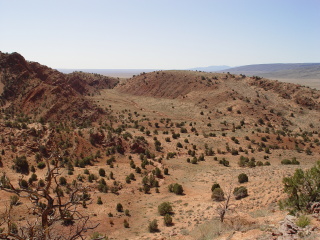
The closed basins were eventually breached by headward erosion of
adjacent streams. Gullies are presently being incised by intermittent
watercourses, exposing old lacustrine sediments.
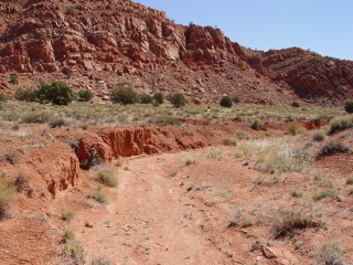
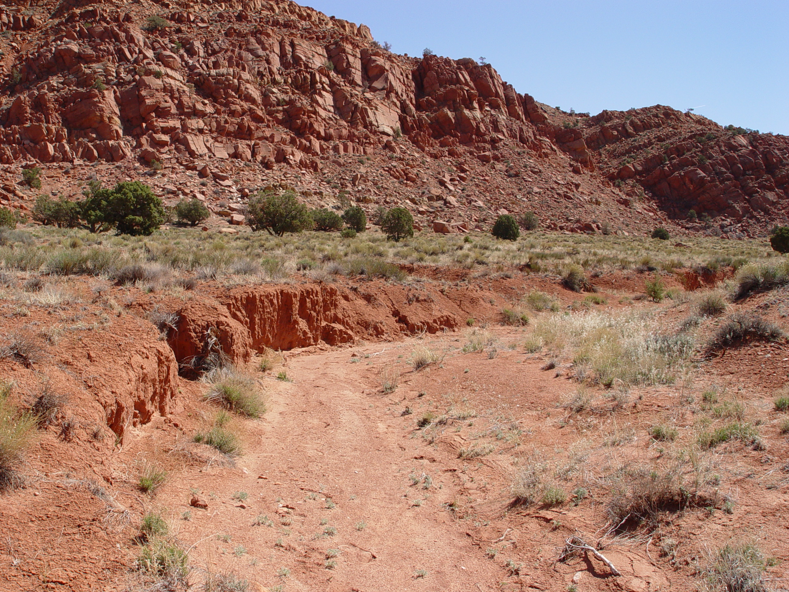
Most workers have assumed that reddish lacustrine lacustrine sediments
in the Southwest are oxidized, which would destroy entrained pollen.
But the source units, the Kayenta and Navajo Formations, are also
reddish in color. Samples similar in appearance have been
recovered from Grand Canyon and were found to contain pollens from
a wide variety of species, as well as spores and freshwater algae.
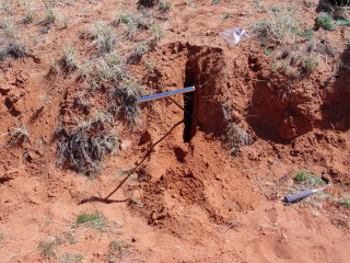
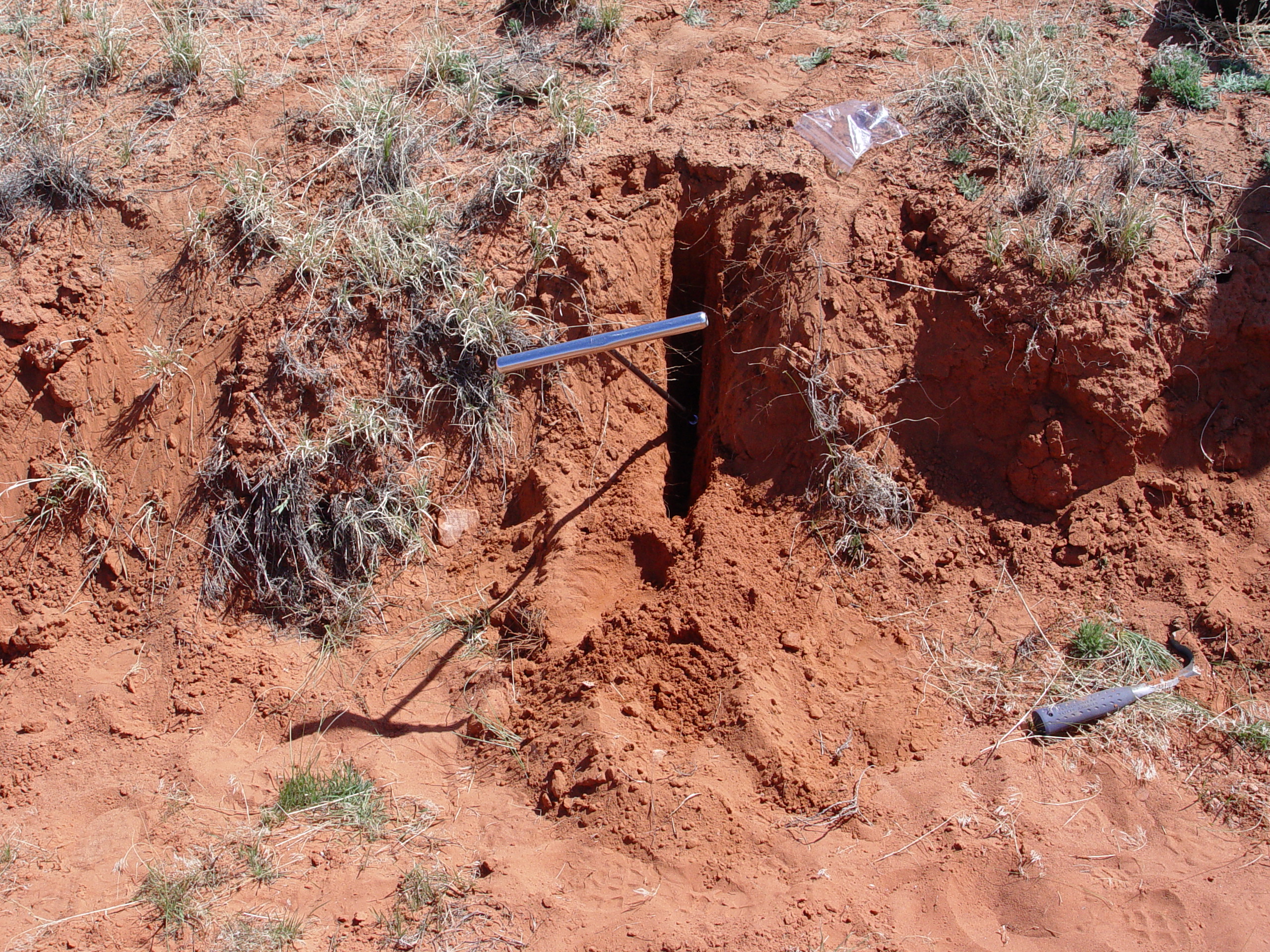
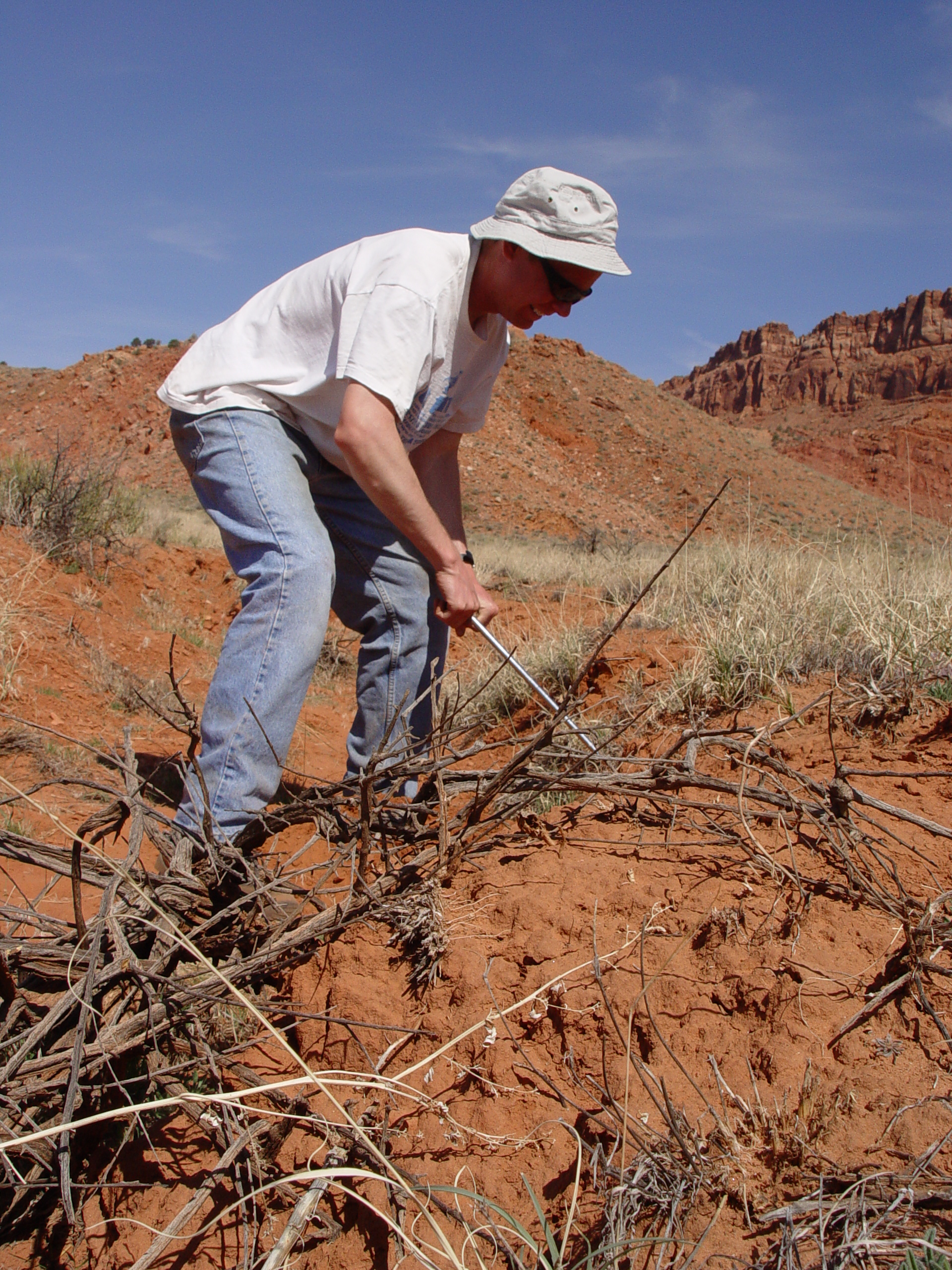
Samples of fine grained sediments contained in several headscarp
headscarp grabens have been recovered using a 1” diameter
soil auger and plug sampler.
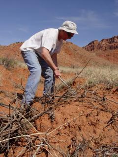
A 1” diameter soil auger can recover soil samples up to 1.5
m deep, or farther if subsurface conditions permit. Palynology
can be used to date the age of the ponds and therefore, the landslides.
It can also provide paleoecology and and paleoclimatology information
which could information which could provide insights on why the
slides occurred.