INTRODUCTION
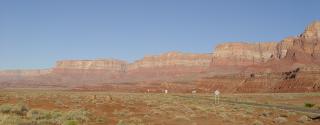
The Vermilion Cliffs of northern Arizona are a 30-mile escarpment
separating the Marble Platform from the Paria Plateau. The
escarpment is mantled by landslides and stretched from Lee's Ferry
to House Rock. Landslides include slump blocks, earthflows,
and composite landslides that exhibit a combination of both types
of movement.
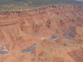
Large slump blocks mantle the Vermilion Cliffs. Notice the
greenery of pinon pines atop the Paria Plateau.
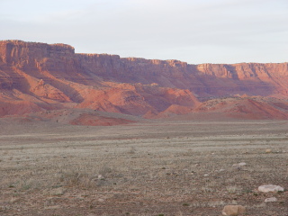
Large slump blocks viewed near House Rock

A composite slump-earthflow slide is present in the midsection of
the Vermilion Cliffs.
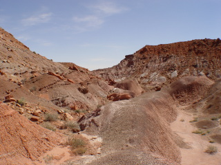
Sliding along the Vermilion Cliffs is mostly confined to the
Petrified Forest member of the Chinle Formation, a highly plastic,
montmorillonite-rich shale that erodes to form badlands topography.
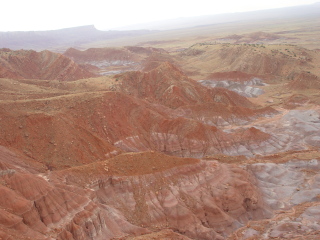
This aerial photo of sliding along the Vermilion Cliffs shows multiple
contacts where slide debris overlies the Petrified Forest Member
of the Chinle Formation.
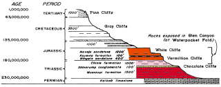
Diagram (from Baars, 1995) showing formations present along the
Vermilion Cliffs. The Marble Platform is floored in the Kaibab
Limestone at its lowest level while the Paria Plateau is capped
by the Navajo Sandstone.
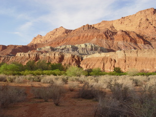
Exposure of the entire stratigraphics column of the Vermilion Cliffs
near the mouth of the Paria River, by Lee’s Ferry.

Several episodes of sliding and rapid cliff retreat along the escarpment
appear to have occurred during the Quaternary, as multiple sequences
of sliding are present. Each sequence of sliding is slightly
higher in elevation and older slides are increasingly mollified
and dissected. Sliding appears to have ceased in the Holocene and
intermittent streams are deeply incised. The above diagram
is taken from Strahler (1940).
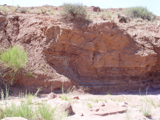
Toe thrust of a landslide that has been dissected by surface streams
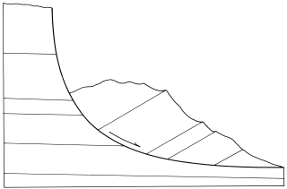
Schematic of a simple Toreva Toreva or slump block typical along
the Vermilion Cliffs (from Huntoon, 1978). This type of landslide
exhibits rotational motion during movement.
_sm.jpg)
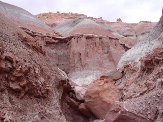
Notice the back-rotated strata typical of Toreva-blocks along the
front of the Vermilion Cliffs.