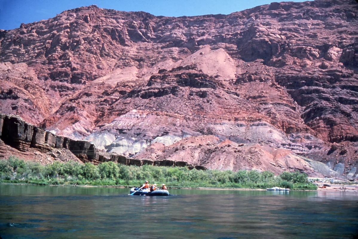
My
first research trip in the Grand Canyon was in June 1978, using the
Colorado River as our pathway through the 280-mile length of the gorge.
Here I am leaving our put-in at Lee’s Ferry at Mile 0, with
the colorful Echo Cliffs in the background.
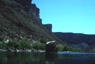
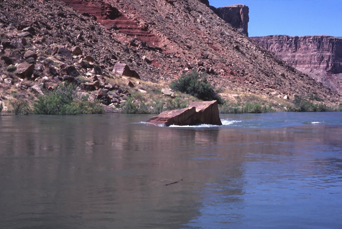
This
is a view of 10 Mile Rock, a large slab of Coconino Sandstone that
juts out of the water 10 miles downstream of Lee’s Ferry.
This is how it appeared on June 19, 1978, when the river was flowing
about 12,600 cubic feet per second (cfs).
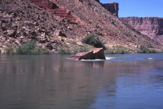
This
is how 10 Mile Rock appeared five years later, on June 22, 1983, when
the river was flowing 63,000 cfs.
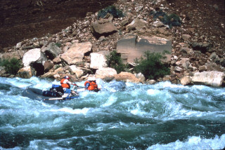
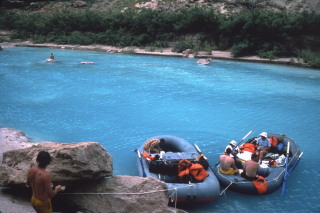
At
Badger Creek Rapid (Mile 7.8) I managed to get my raft stuck at the
head of the rapid on the first rock I tried to row pass! At
Soap Creek (Mile 11), shown here, the river drops 16 feet feet and
I enjoyed an unmolested run down the center tongue. My confidence
grew with each day’s small successes.
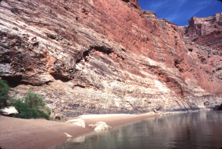
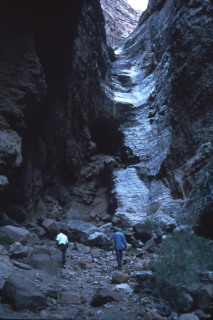
This
shows a sheet joint-bound wall arch in the Redwall Limestone a short
distance upstream of Redwall Cavern, on the left bank. Sheet
joints can form in any kind of massive rock devoid of intense fracturing
or jointing.
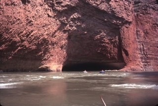
Coming
up on Redwall Cavern on a flow of 69,000 cfs on June 23, 1983.
At this flow it is easier to imagine how the opening was carved out
of the Redwall Limestone at a sharp bend in the channel at Mile 33.
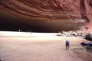
Close-up
view of Redwall Cavern at Mile 33. The enormous opening was undercut
by the river at a sharp southward bend of the channel. It is
now filled with sand, but in the days before Glen Canyon Dam, it was
occasionally scoured out by high flows. The 1923 USGS Mapping
Expedition managed to row into the cave riding a flow of about 20,000
cfs.
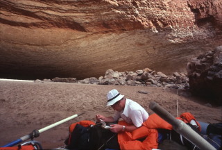
Back
in 1978 everyone used Buzz Belknap’s river guide, the only one
available. It utilized the 1923 USGS plane table survey maps
of the river corridor. Here I am studying the Belknap river
guide at Redwall Cavern.
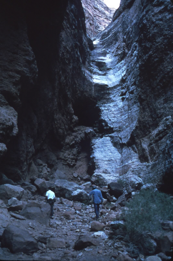
We
spent a late afternoon exploring Nautaloid Canyon (Mile 34.7), a fault-controlled
slot canyon. The intricacies of karstic landscape lie hidden
below ground. The Mississippian age nautaloid fossils are the
conical variety, like ice cream cones. Nautaloids evolved their spiral
form much later, during the late Mesozoic.

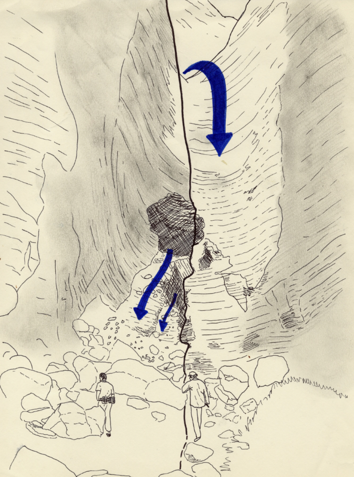
Here
is the sketch I made from the photo above, showing the controlling
fault, dry falls, springs, and collapsed caverns.
_sm.jpg)
Drawing from my field sketch pad showing the collapsed cavern fill
exposed on the northwest wall of Nautaloid Canyon and the dry falls,
as I imagined it would be seen from above.
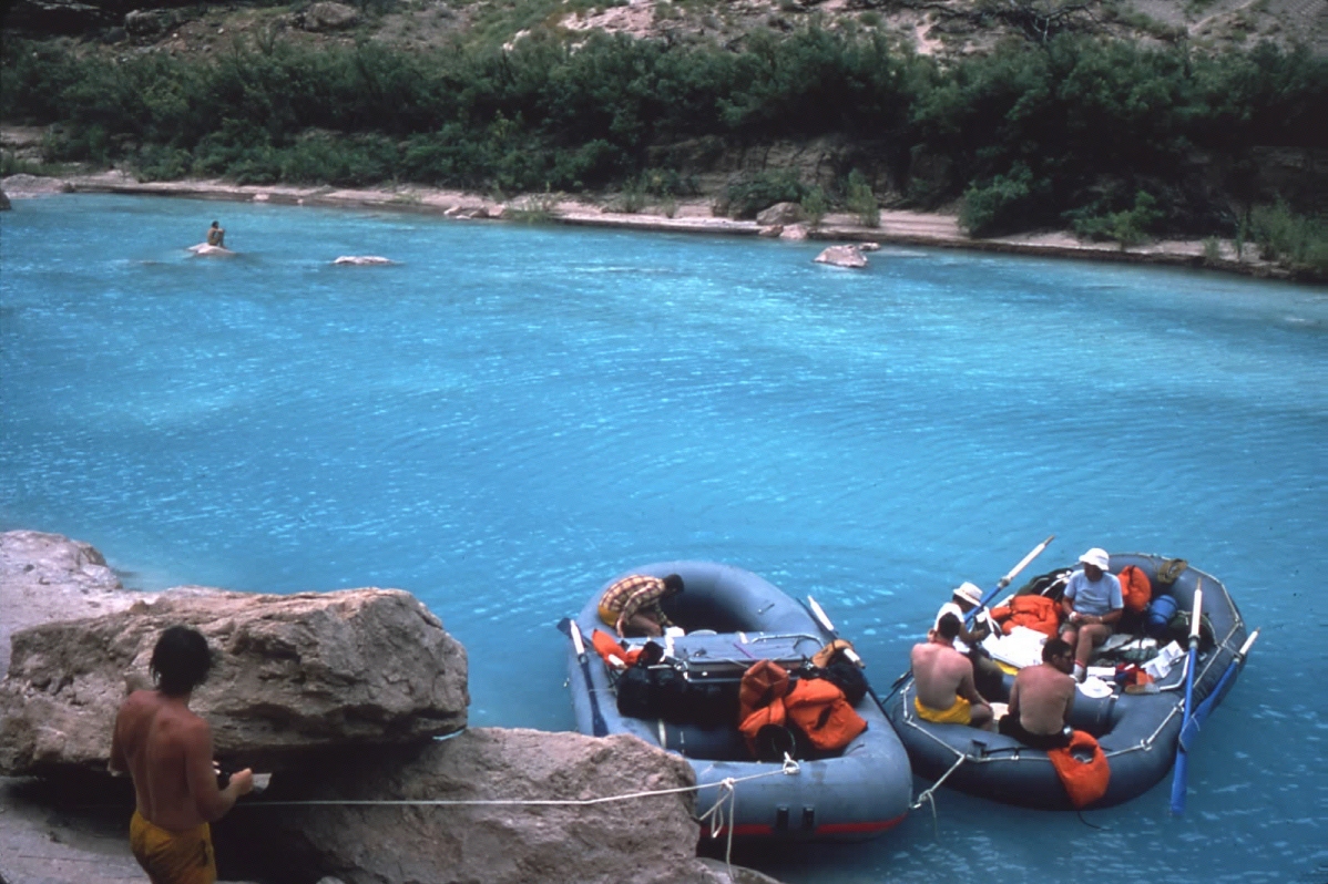
Relaxing
at the mouth of the Little Colorado River. The intense turquoise
color comes from dissolved carbonate that emanates from springs a
short distance upstream. After the summer thunderstorms begin
in early July, this scene changes to a muddy brown sludge, which taints
the entire Colorado downstream of this location.
Questions or comments
on this page?
E-mail Dr. J David Rogers at rogersda@umr.edu.


.jpg)