A
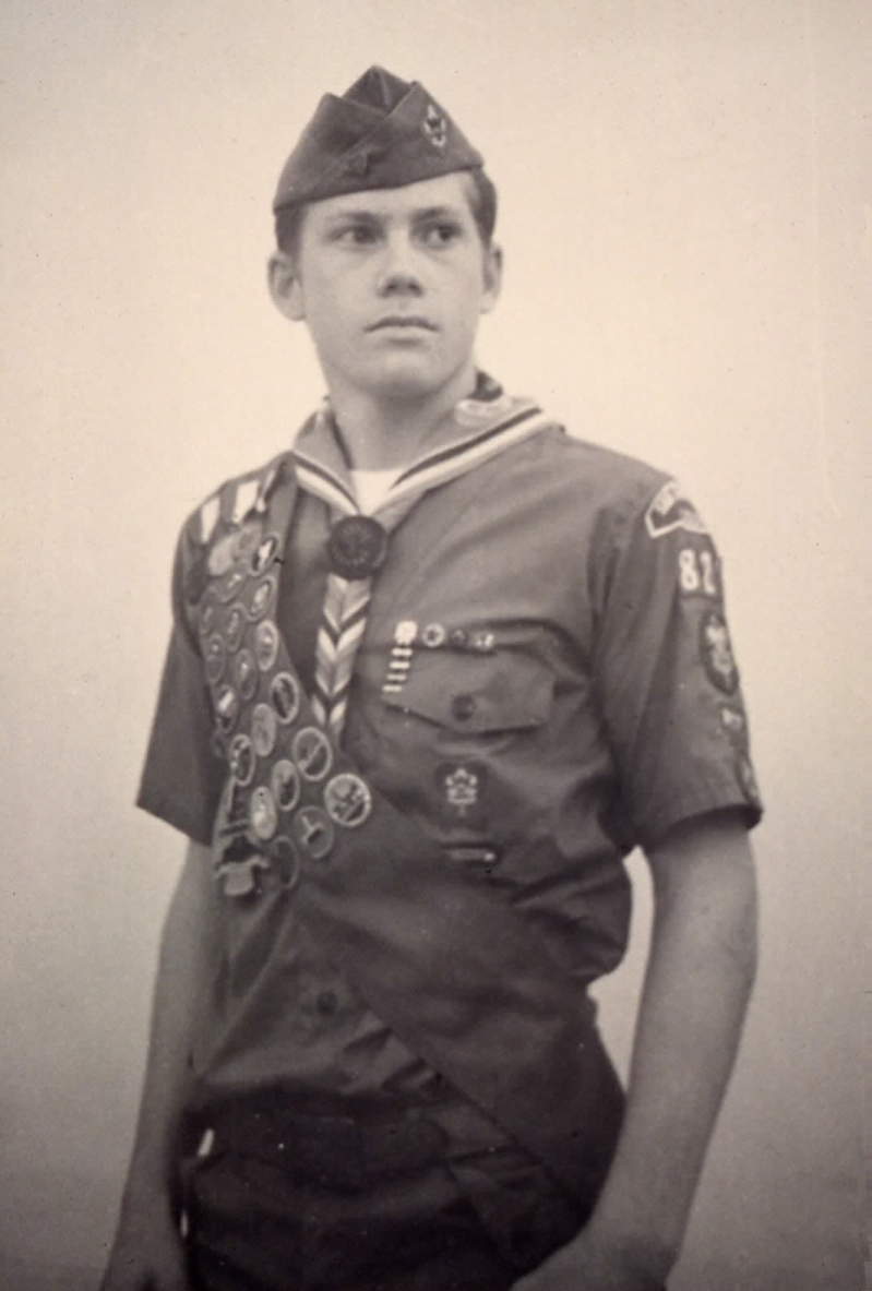
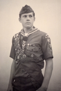
keen interest in physical processes and geologic hazards was cultivated
by my outdoor experiences with the Boy Scouts. During high school
I started my own Scout troop and eventually rose to the rank of Eagle
Scout.
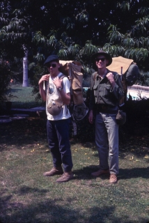
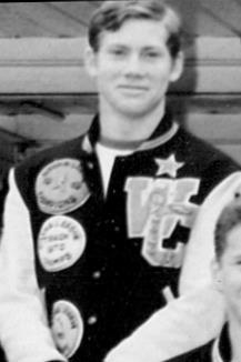
This is a photo of my first backpacking trip of any consequence in
June 1969, with my older brother Brian at right. I had just turned
15. We climbed San Bernardino Peak, elevation 10,624 feet.
It was the initial point for the San Bernardino Meridian and Base
Line in 1852, from which all of southern California was mapped.
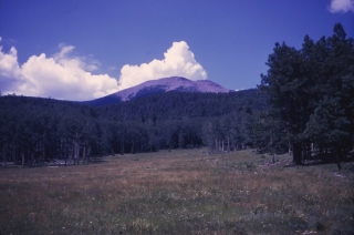
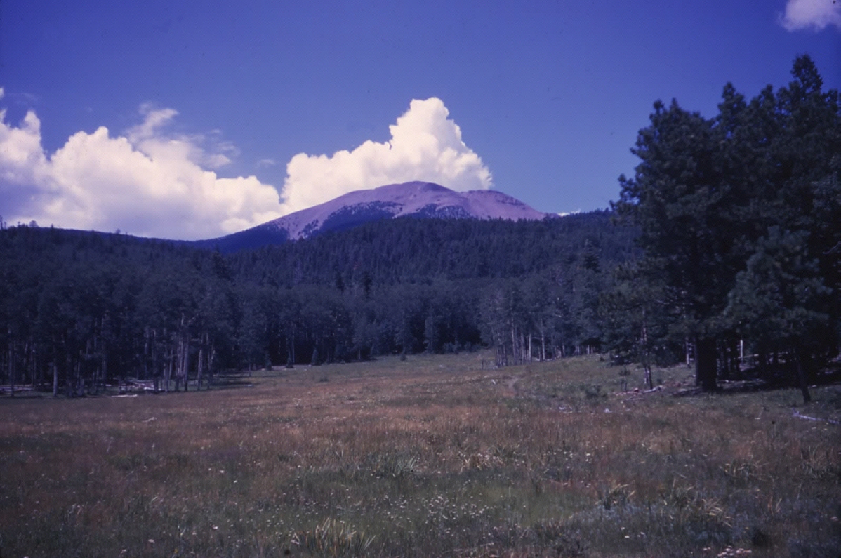
In August 1969 I served as crew leader of a group of senior scouts
that spent two weeks backpacking at Philmont National Scout Ranch
in northern New Mexico. I had responsibility for navigating
us from place to place using a 1 inch = 1 mile topographic map and
a compass! My favorite landmark was Baldy Mountain shown here,
because I could usually get a fix on it!
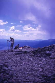
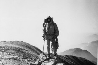
That's me in the Philmont cowboy hat on the summit of Baldy Mountain,
elevation 12, 441 feet, in August 1969. Four of our group of
12 managed to make it to the top, traversing the peak and descending
the opposite side, visiting some old gold mines on the return trip.
That was the first time I ever went underground.
My interest
in geology was initially piqued by my brother Brian, who took a course
in geology at Long Beach State in the fall of 1968. One of the places
they visited was Amboy Crater, a 250-foot-high volcanic cider cone,
which erupted approximately 6,000 years ago. It is about 1,500
feet in diameter and located in the central Mojave Desert, just off
old US Route 66 southeast of Ludlow, CA.
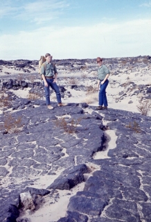
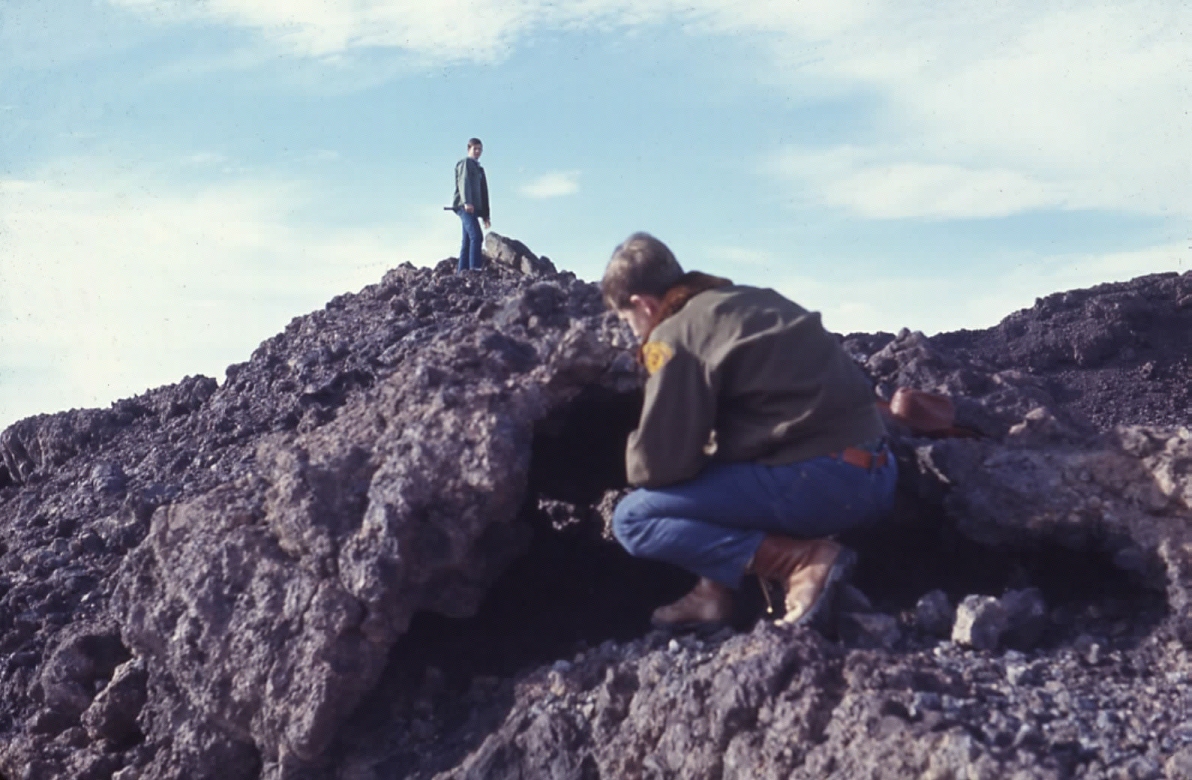
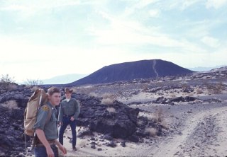
In January 1970 my brother and I explored the Amboy Crater volcanic
field in the central Mojave Desert. Here I am standing on some
of the ground fissures in an adjoing lava flow with my high school
running buddy Joe Hickey.
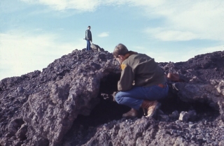
Here Joe and I are examining lava vugs on the rim of Amboy Crater.

I climbed Mt. Baldy (San Antonio Peak) more than any other mountain
in southern California until departing for grad school in 1976.
At 10,064 feet, it is the highest point in the San Gabriel Mountains,
towering over the San Gabriel and Pomona Valleys. I loved glissading
off the peak’s sheer southeast face. You could descend
2,000 feet in about 5 thrilling minutes!

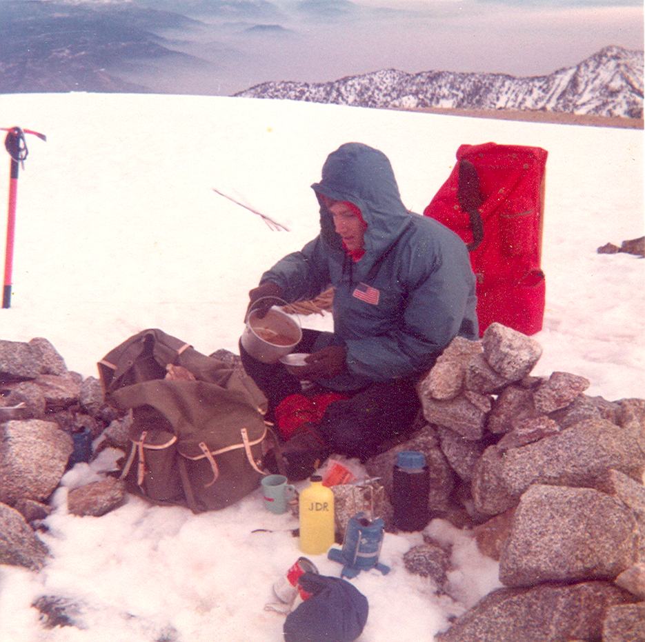
Cooking a warm meal on the summit of Mt. Baldy in the winter of 1970-71,
when Jim Miller and I were tuning up for our climb of Mt. Whitney.
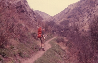
One of the toughest hikes I recall from those early days was the Vivian
Creek Trail, shown here in the summer of 1970. It led you almost
6000 feet up, up and up to the crest of Old Grayback, Mt. San Gorgonio
(elev. 11,502 feet), the highest peak in southern California.

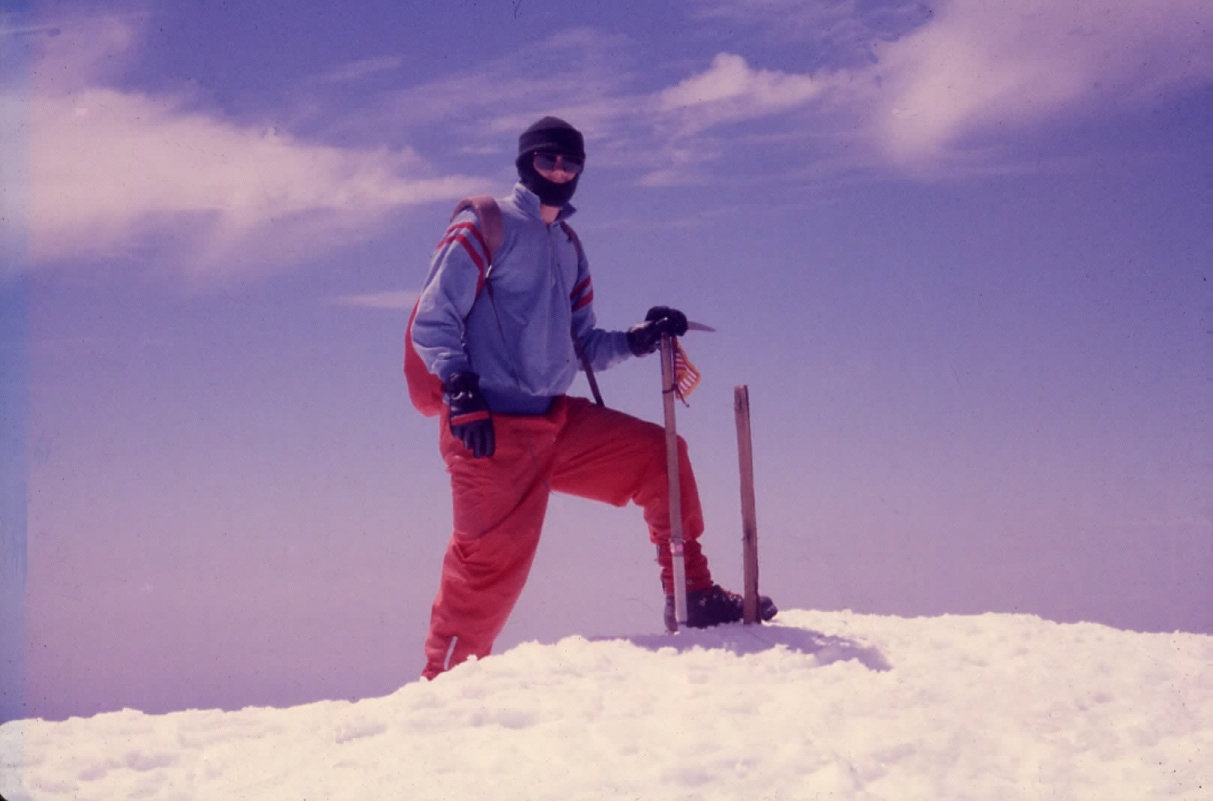
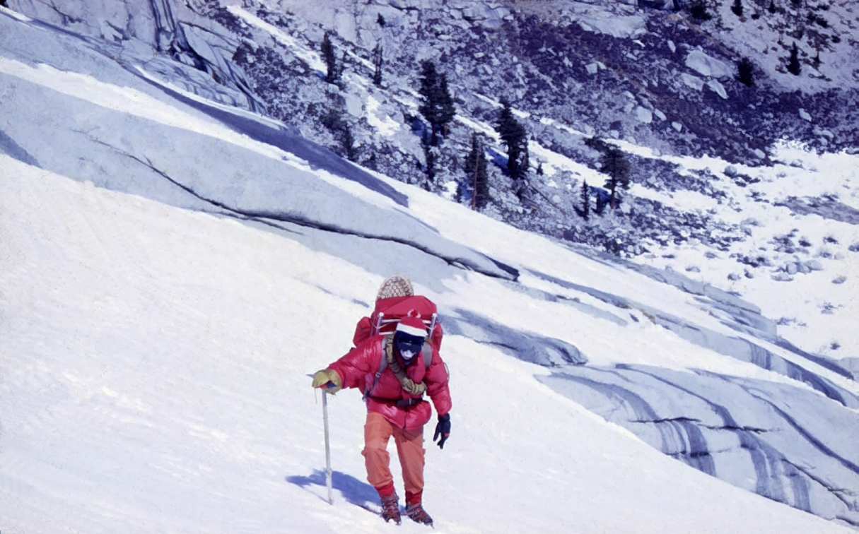
In mid-March 1971 my buddy Jim Miller and I attempted to climb the
east face of Mt Whitney (14,505 feet), the highest point in the continental
United States. We wanted to do it in the winter, when all the tourists
were gone. This shows me kick-stepping my way up the ice-covered slope
between Upper Boy Scout and Iceberg Lakes using my new chrome moly
crampons, Mt. Everest expedition pack and ice axe from REI in Seattle.
I was 16.

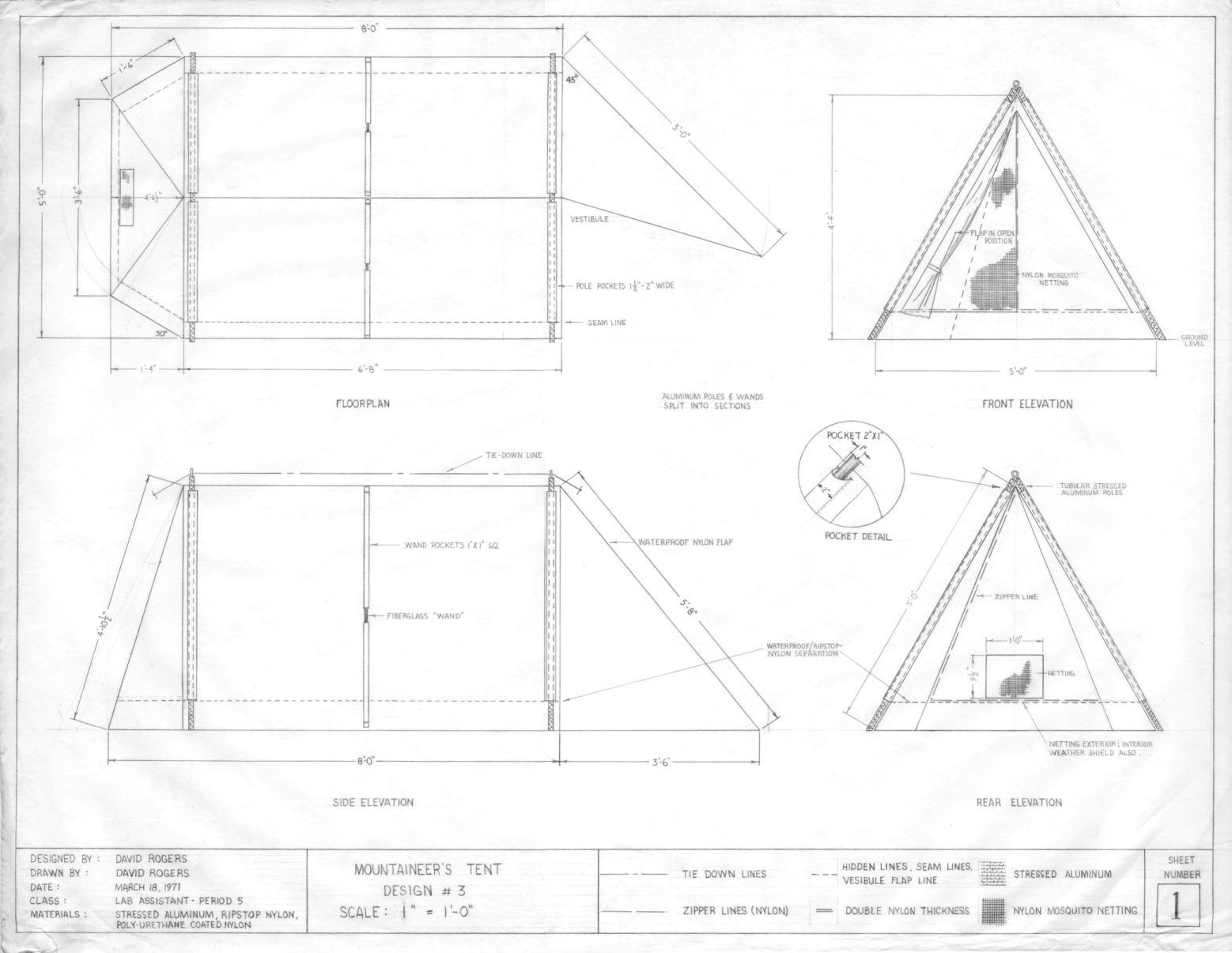
This is a picture of our last camp, beneath the summit block of Mt
Whitney. We were blessed with clear weather. I made the
orange polyethylene tent seen here as a design project for my technical
illustration class at West Covina High School (shown below).

My design of the mountaineer’s tent seen in the photo above.
It was the first of several iterations I experimented with during
high school and college. This particular design worked remarkably
well in cold temperatures because I modified it with a tunnel entry.
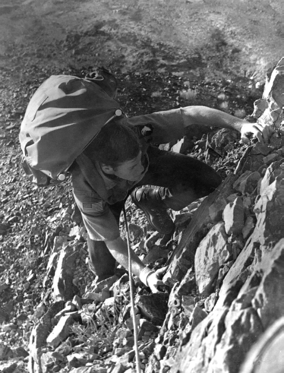
The most challenging trek of my early years was a traverse of Iron
Mountain (8007 ft), a prominent peak west of Mt. Baldy, in November
1971. It began easily enough on the Heaton Flat Trail out of
East Fork, then straight up a spur ridge to the summit. But, when
we attempted the traverse to Mt. Baldy, it got nasty and difficult,
picking our way along a precipitous hogback ridge comprised of fractured
metamorphic rock. By sundown we were obliged
to bivouack above a small snowfield because we were out of water.
This view shows me the following day, after we had successfully ascended
the summit of West Baldy, looking back on Iron Mountain. Great
learning experience for a 17-year old who thought he was invincible.
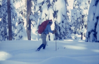
Jim Miller and I returned to the Sierras the following winter of 1971-72.
This time we equipped ourselves with Nordic Skis, which were something
of a novelty in those days. This shows me gliding through the
high country of Sequoia National Park, heading towards Alta Peak.
Nordic skis were a joy to use after tromping around in snow
shoes with full packs the previous winter.

I learned
how to rock climb from the Rock Climbing Section (RCS) of the Angeles
Chapter of the Sierra Club. The RCS sponsored weekend climbing
sessions at Mt. Rubidoux in Riverside and Stony Point in Chatsworth.
Aspiring climbers were taught the rudiments of various rock climbing
techniques and methods by seasoned instructors. Our goal was
to become certified so we would be eligible to participate in RCS-sponsored
climbs on Mt. Tahquitz in the San Jacinto Mountains.
When
I consider your heavens, the work of your fingers, the moon and the
stars, which you have set in place, what is man that you are mindful
of him? Pslam 8:3-4
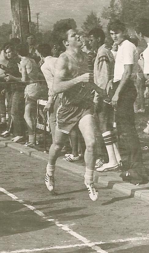
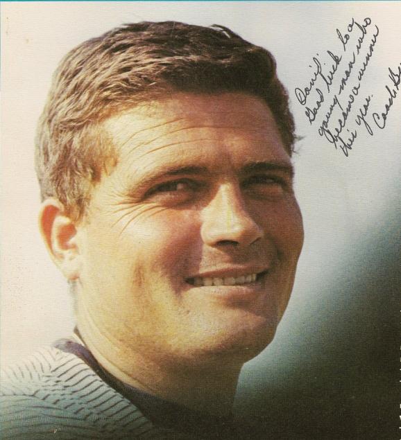
Tim Brancheau was the guiding light of one of the most successful prep track & field programs in the USA between 1967-98. The record winning streak of 81 consecutive track meets without a loss began during the 1972 season, when I was a team captain.
Remembrances of Tim Brancheau
Questions
or comments on this page?
E-mail Dr. J David Rogers at rogersda@mst.edu.