-
A
wetter climate during the Pleistocene likely heightened groundwater
levels within the cliffs. This may have led to gross instability
because of reduced effective stress and loss of cohesion in the
the Chinle and and Moenkopi Formations.
-
Saturation
and strength loss of the Petrified Forest Member of the Chinle
Formation might have been caused by lava dams in the western Grand
Canyon. These dams impounded reservoirs with a pool elevation
of up to 1200 m (4000 ft), easily saturating the base of the Vermilion
Cliffs. This effect was likely more pronounced at the eastern
end of the cliffs near Lee's Ferry, which are at a significantly
lower elevation than the western portion near House Rock, AZ.
-
Evidence
suggests that some lava dams failed catastrophically. Pore
pressure imbalances caused by rapid drawdown during these failures
may have triggered the earth flows common near Lee's Ferry.
-
At
least three of the dozen or more lava dams inpacted the Vermilion
Cliffs Region. Reservoir induced seismicity caused by the
filling of such large lakes may have played a role in triggering
the landslides.
-
Seismic
activity related to nearby volcanism may have been instrumental
in triggering the slides.
-
Strain
softening caused by relaxation of slopes may have acted to reduce
the strength of the Chinle Shales in combination with other processes.
It is possible that straining of the Chinle Formation is responsible
for the open joint planes seen near the edge of the Paria Plateau
atop the cliffs.
INFLUENCE OF LAVA DAMS IN WESTERN GRAND CANYON
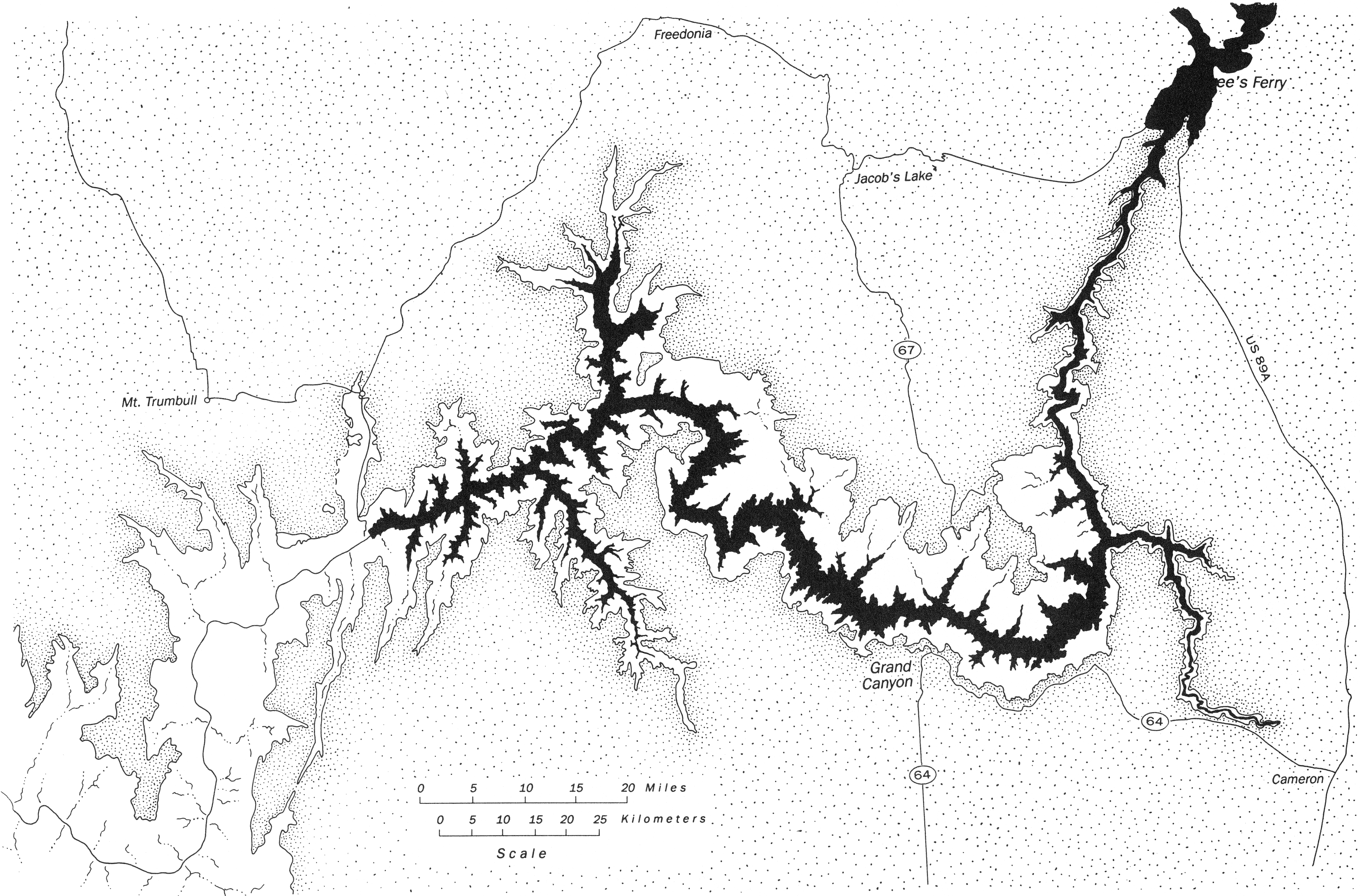
The strata comprising the Vermilion Cliffs and Paria Plateau
dip northeasterly, between the East Kaibab and Echo Monoclines.
Relief increases easterly, towards the Colorado River. This
diagram is borrowed from Strahler (1940).
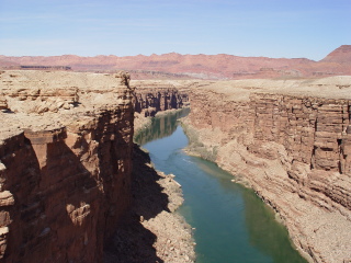
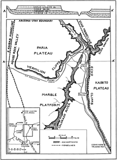
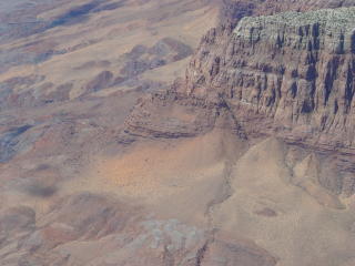
Relief along the Vermilion and Echo Cliffs increases as they approach
the Colorado River. This view shows Marble Canyon as seen
from Navajo Bridge.
The
higher Pleistocene lava dams in western Grand Canyon created reservoirs
that extended well beyond Lee’s Ferry, placing the base of
the easternmost cliffs under more than 300 meter of water.
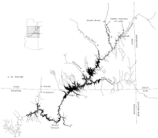

These maps from Hamblin (1994) show a wide and close view of Prospect
Lake, the largest lava dammed lake in the Grand Canyon. The
lake had an approximate depth of 699 meters (2330 feet) and extended
nearly to the Utah-Colorado border, over 300 miles upstream.
Fenton et al. (2004) summarized radiometric dates ranging from 600
to over 1800 ka for the Prospect Lava Dam; with around 600 ka accepted
as most reliable.
POSSIBLE
INFLUENCE OF A WETTER CLIMATE AND STRAINING OF CHINLE SHALES
It is possible that a wetter climate during pluvials of the Pleistocene
led to the saturation and failure of slopes along the Vermilion
and Echo Cliffs. Both Strahler (1940) and Ahnert (1960) make
mention of open joints in the Navajo Sandstone on the Paria Plateau
above the Vermilion Cliffs. The open joints could channel
large quantities of water into the underlying formations, resulting
in a reduction of their strength. These open joints may be
caused by the straining of the underlying Chinle shales.
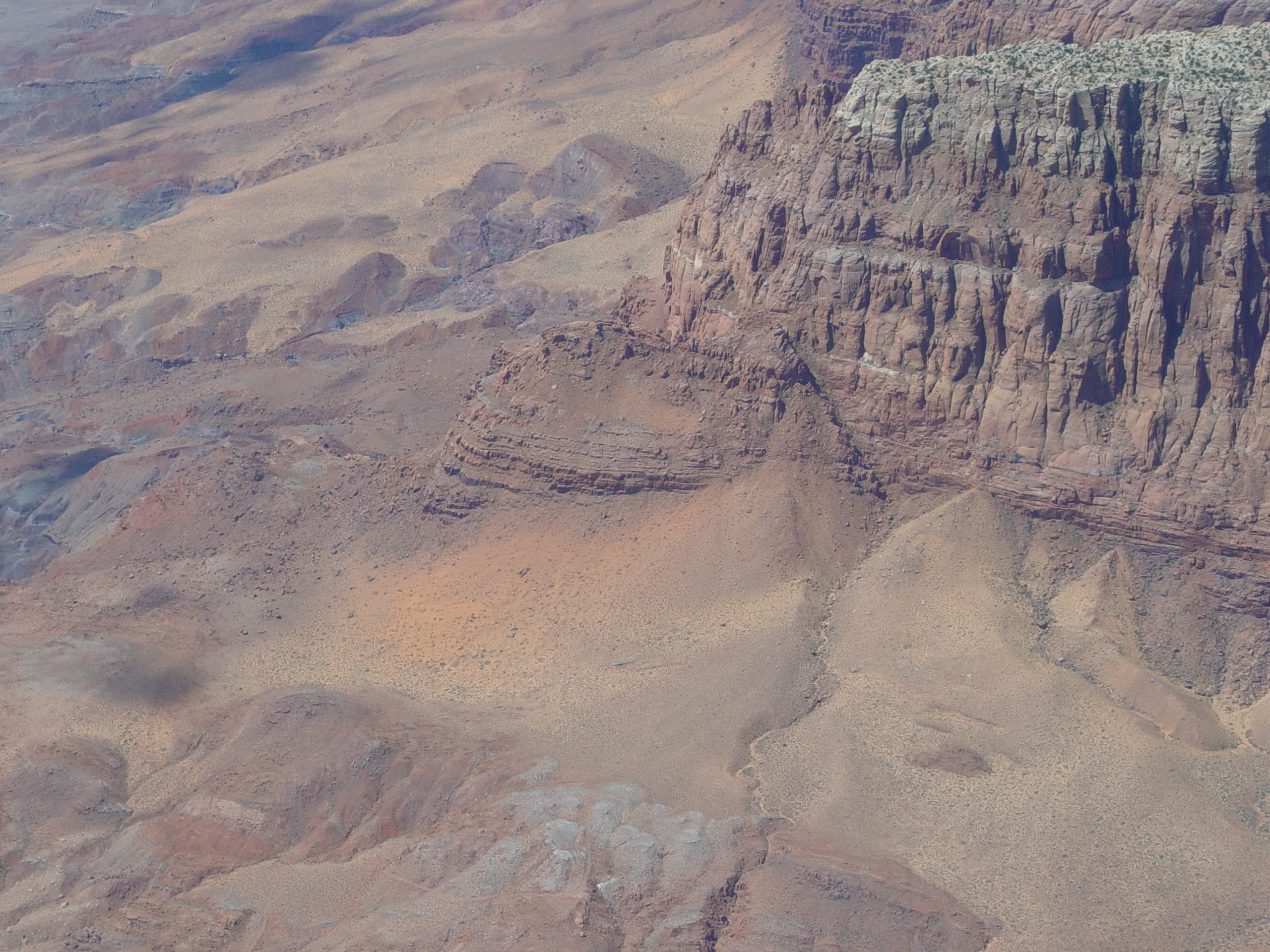
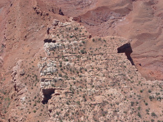
This photo shows a promontory along the Vermilion Cliffs that appears
to be an incipient slide. Notice the small scarp developed
behind the promontory. This indicates some movement and deformation
in the underlying Chinle Shales. An older slide rests against
the front of this block, possibly preventing a complete failure.
This is along the cliffs near Lee's Ferry.
.jpg)