THE EASTERN VERMILION
CLIFFS
This eastern cliffs contain numerous earthflows. Earthflows
did not did not occur along the western cliffs although the although
the stratigraphy is similar. Large slump blocks have formed
instead.
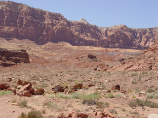
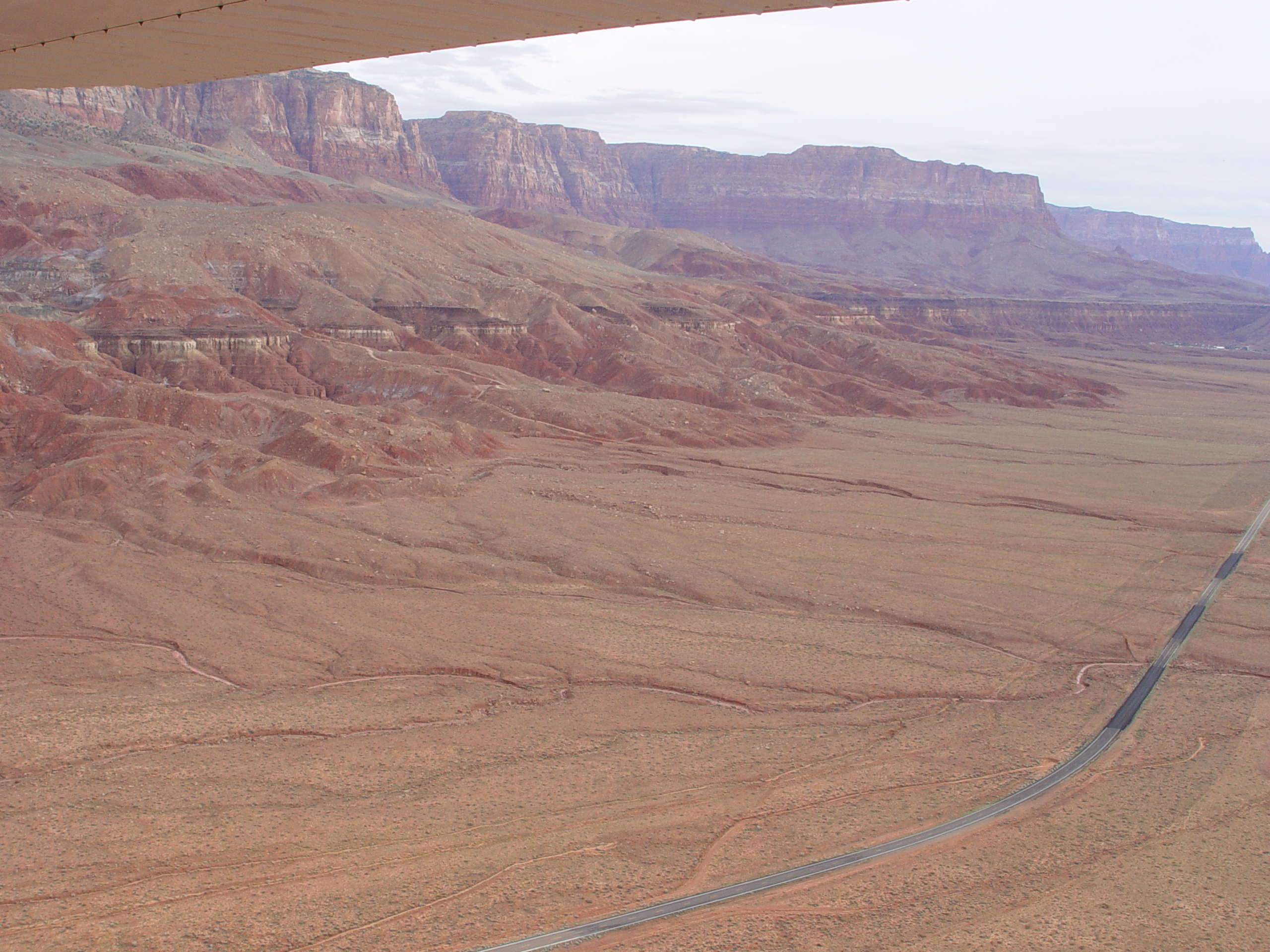
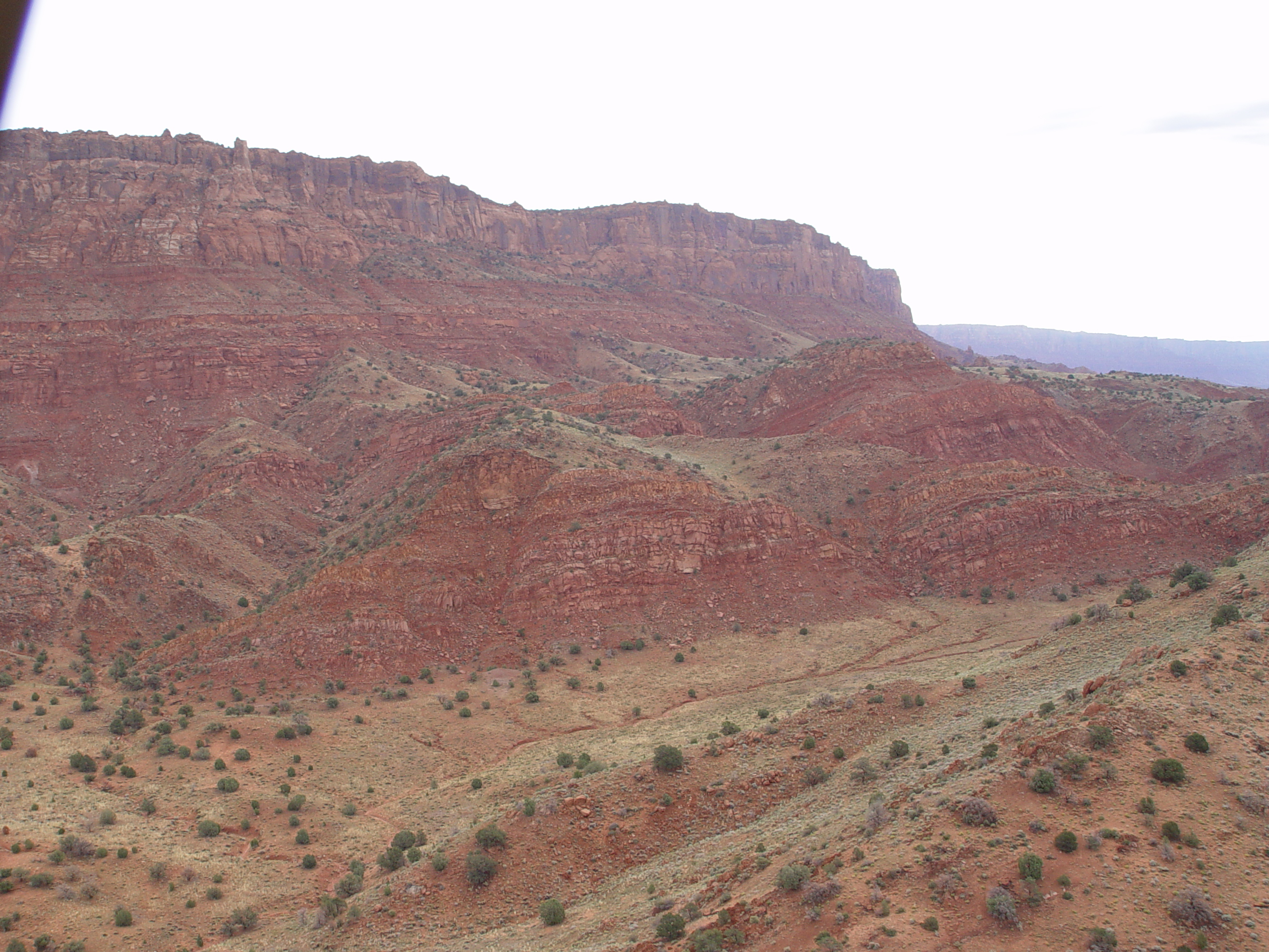
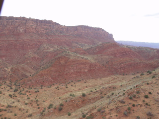
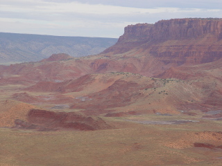
Earthflows consisting of highly disaggregated Chinle, Moenave, and
Navajo Formations are present along the Vermilion and Echo Cliffs
near Lee’s Ferry. Strahler (1940) suggested that these
flows occurred when rotational slumps developed in the Chinle dropped
dropped over the over the Shinarump bench, which has not been excavated
and exposed along the western cliffs. But, earthflows are
also present well above the Shinarump.
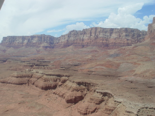
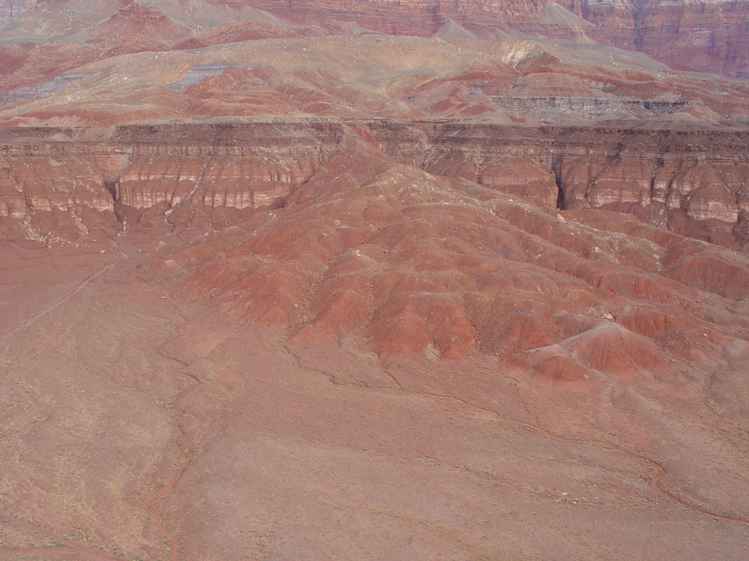
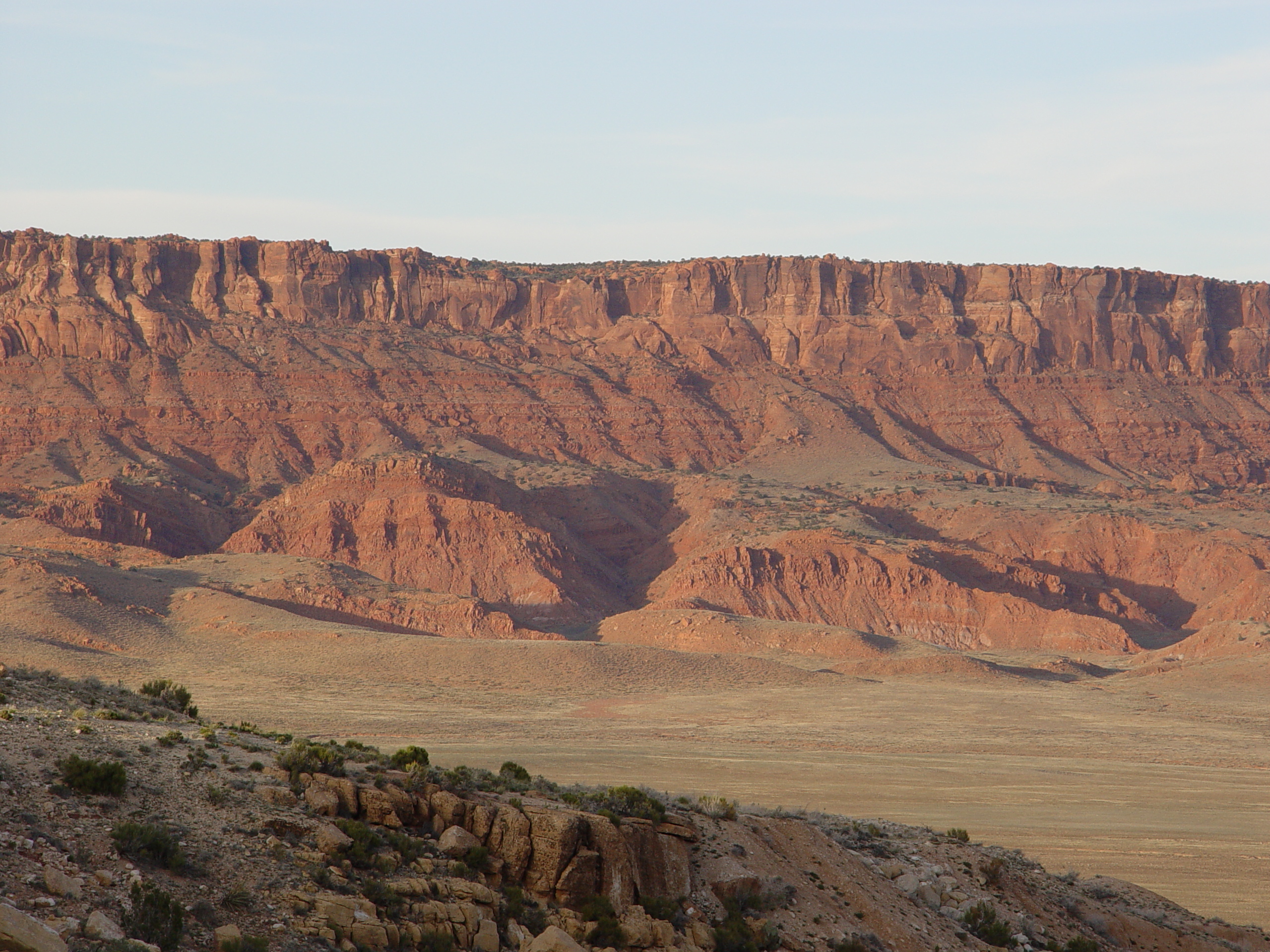
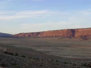
Earth flows above the Shinarump bench
Earth flows have cascaded over the edge of the Shinarump bench along
the Vermilion Cliffs as suggested by Strahler (1940).
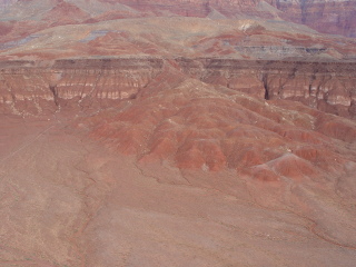
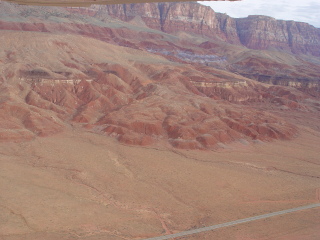
Additional paleo earthflow fan below the Shinarump escarpment
The earthflows have occurred during rapid drawdown, when the lava
dam impoundment inundating the cliffs suddenly drained away.
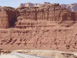
The Moenkopi beds near Lee's Ferry and Navajo Bridge appear rounded
by inundation.
Telephoto view of the potentially water smoothed bedding planes
in the Moenkopi Formation between Navajo Bridge and Lee’s
Ferry.
Close-up of potentially water smoothed bedding planes in theMoenkopi
Formation at Navajo Bridge. The Moenkop doesn’t doesn’t
exhibit this texture elsewhere in the Colorado Plateau.

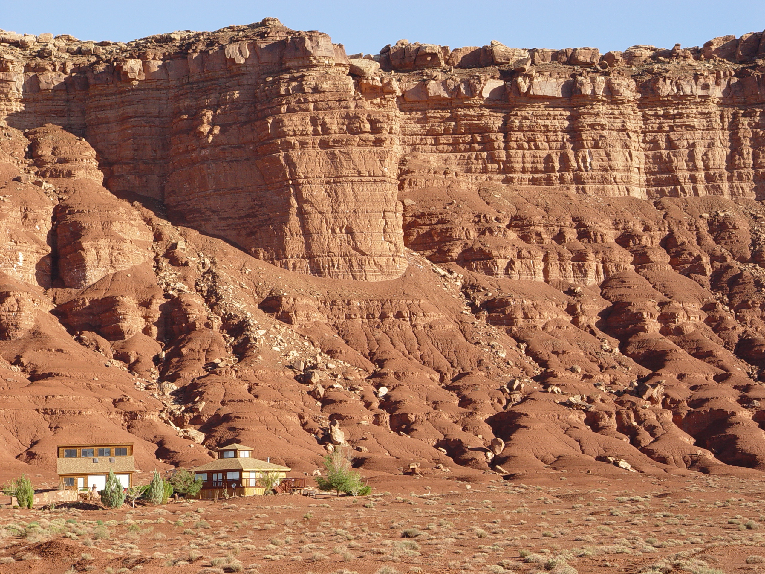
Smoothed Moenkopi beds near Marble Canyon, AZ with nearby residence
for scale
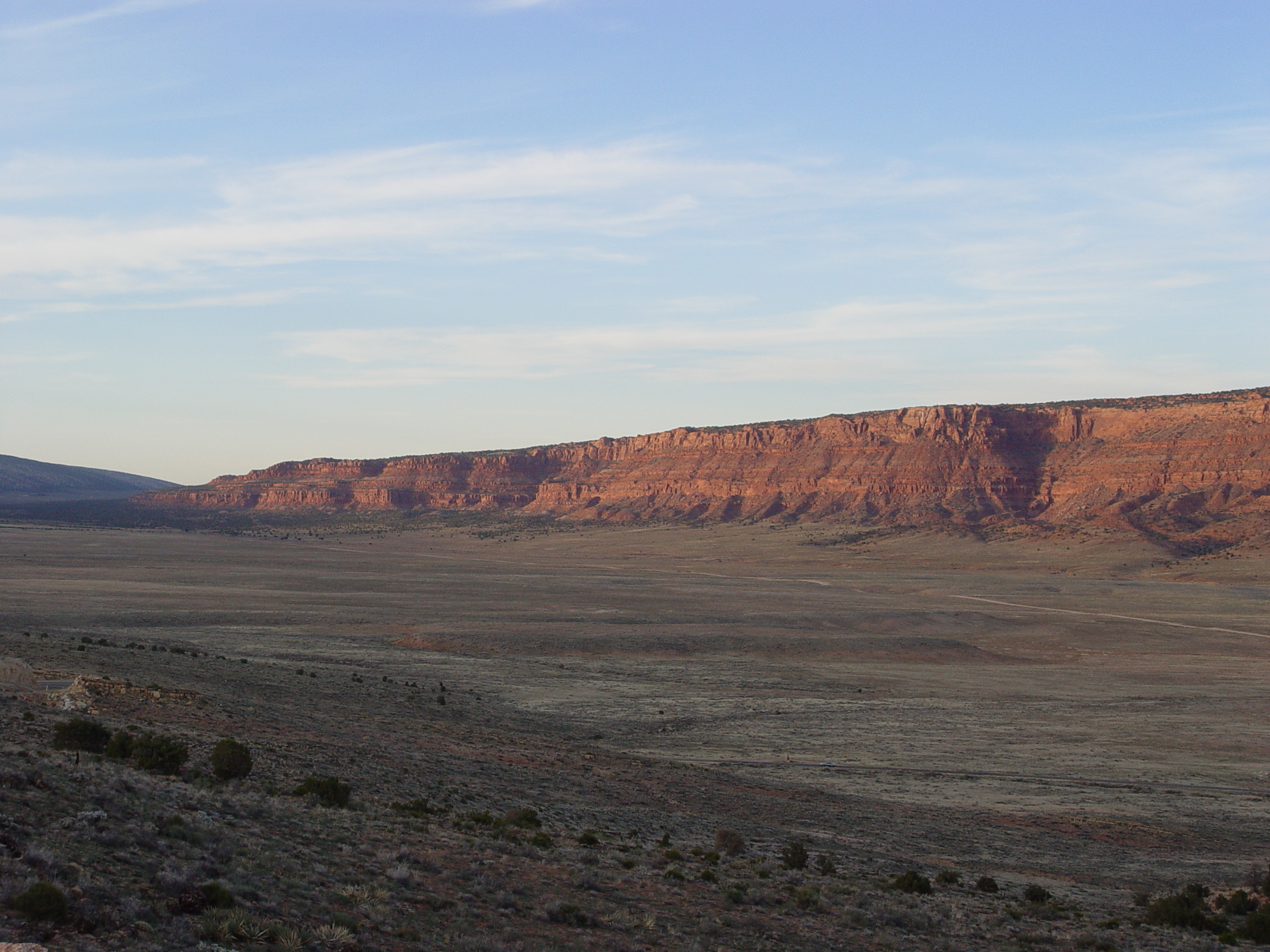
THE WESTERN VERMILION CLIFFS

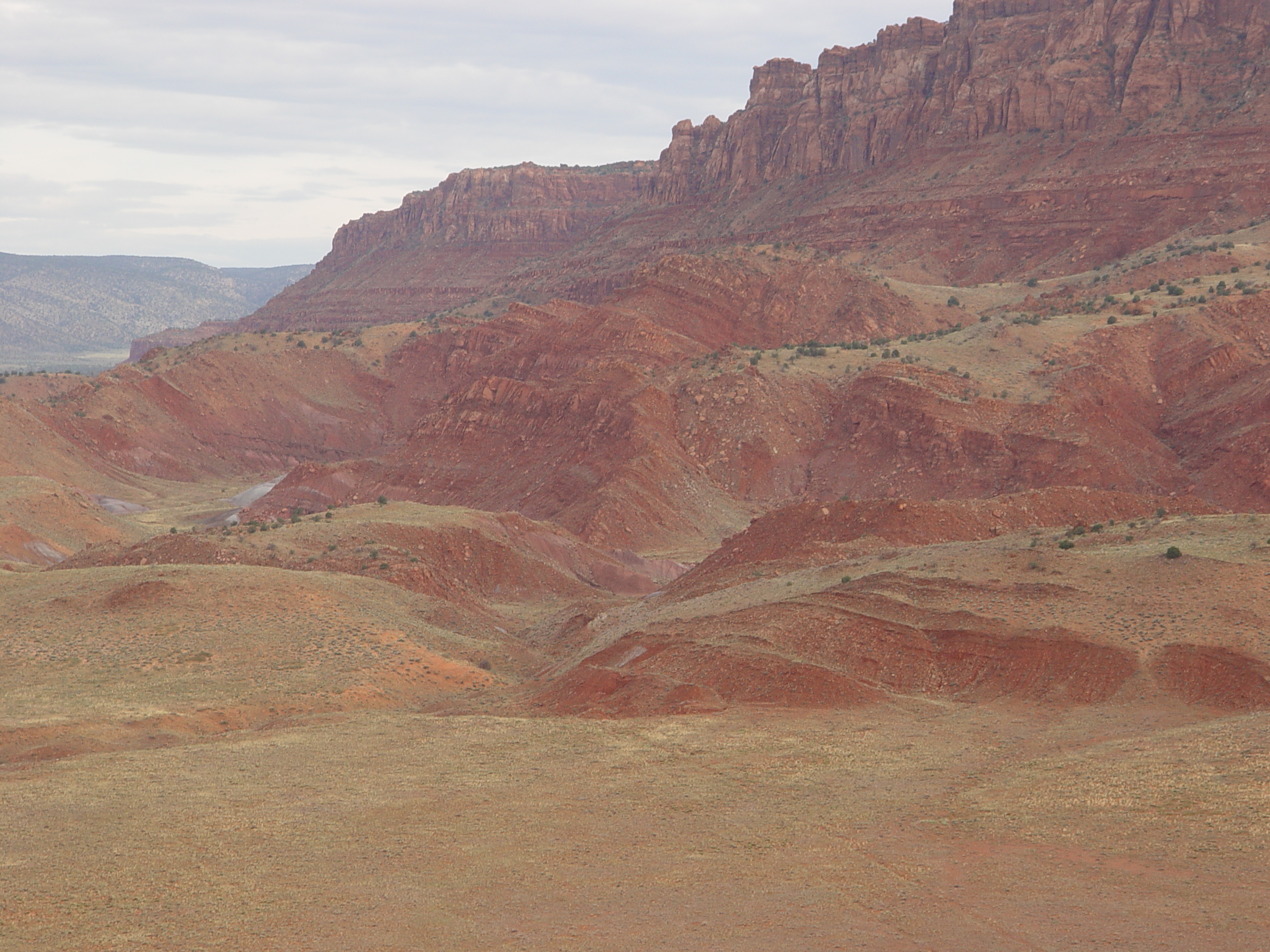
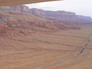
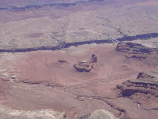
This aerial photo shows a landslide complex along the face of the
Vermilion Cliffs near House Rock. The rotational Torevaor
slump type block becomes more common as one moves west along the
cliffs.
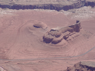
Dissected slump blocks near House Rock, AZ
Some secondary earthflows appear to emanate from parent back-rotated
blocks.

The rotational slump blocks near House Rock occurred well above
the level of any Pleistocene lake caused by nearby lava dams. Some
other cause may be responsible. The nearby lake may have allowed
groundwater levels to rise nearby, causing a different form of landslide.
Similar slides exist throughout the southern Colorado Plateau and
appear related to some widespread cause. These include slides
described by Rieche (1937) at Toreva, AZ and Black Mesa in the Mancos
Shale, and others in the Grand Canyon region.
The Vermilion Cliffs become shorter in height and turn northward
along the House Rock Valley in their far western reaches.
This section is devoid of landslides since the Chinle Formation
has not yet been excavated to a point where it can strain.
This confinement has prevented sliding from occuring.