My recent research in the Grand Canyon has been focusing on analysis
of composite and complex bedrock landslides, such as the Deer Creek
Landslide, which extends from Deer Creek (Mile 136.3) to about half
a mile below Fishtail Canyon (Mile 139.5). This slide dammed
the Colorado River sometime within the past 10,000 years, probably
to a depth of around 500 feet. Numerous deposits of lacustrine
sediments are observed in the reach immediately upstream, especially
opposite the mouth of Bonita Creek (Mile 134.5).
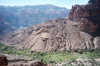
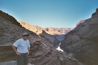
Another view of the eastern side of the Deer Creek Landslide complex,
exposed along Deer Creek. We are hoping to date lacustrine sediments
deposited in three different headscarp grabens of this slide complex
using palynology. We previously employed this technique on the
Surprise Valley slide.
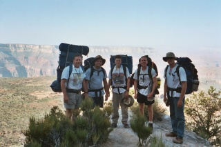
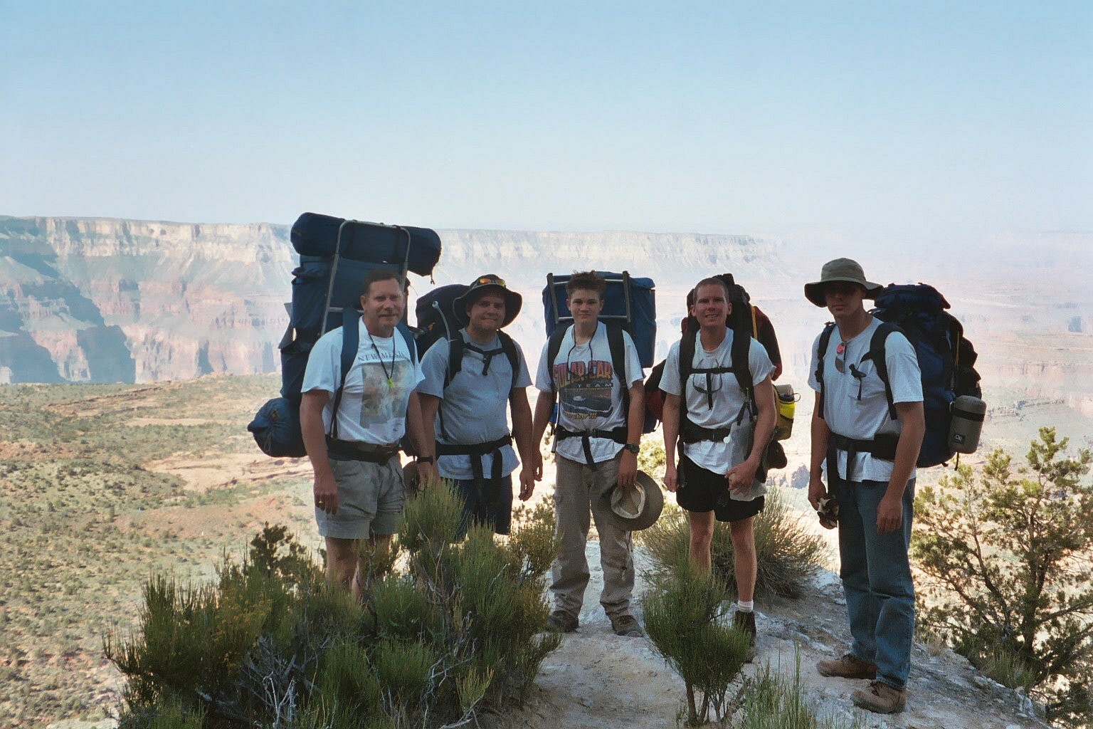
This is a photo of our UMR research team that visited Surprise Valley
and Thunder
River Landslide areas in May 2003. From left: Dave Rogers, Kevin
James, Jonathan Rogers, Conor Watkins and Craig Kaibel.
In
October 2003 I returned to the Canyon for another week of field work
with Conor Watkins and Dave Hoffman. We made a looping trip
from Monument Point, down to Deer Creek, around the Deer Creek Landslide,
then working our way upstream, to the mouth of Tapeats Creek.
We then hiked out via Thunder River and Surprise Valley. Once you
start working in the Grand Canyon, it’s grandeur and mysteries
can be very addictive.
Questions or comments
on this page?
E-mail Dr. J David Rogers at rogersda@umr.edu.