Deer Creek is well known among backpackers and river rafters for its
scenic waterfalls and narrows incised by this spring fed tributary
of the Colorado River. Backpacker Magazine ranks the Deer Creek
and Thunder River as one of the top backpacking destinations in North
America. Tourists visiting this scenic location have the Deer
Creek Landslide to thank for the gorgeous scenery. The Deer
Creek Slide dammed Deer Creek and the Colorado River. The Colorado
breached the dam and diverted slightly to the south. Deer Creek
rerouted to a its present location, along the eastern margins of the
blockage.
The older
Cogswell West Slide (discussed in previous section) rerouted Deer
Creek to the west before its course was changed again by the more
recent Deer Creek Slide.
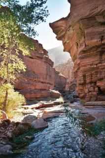
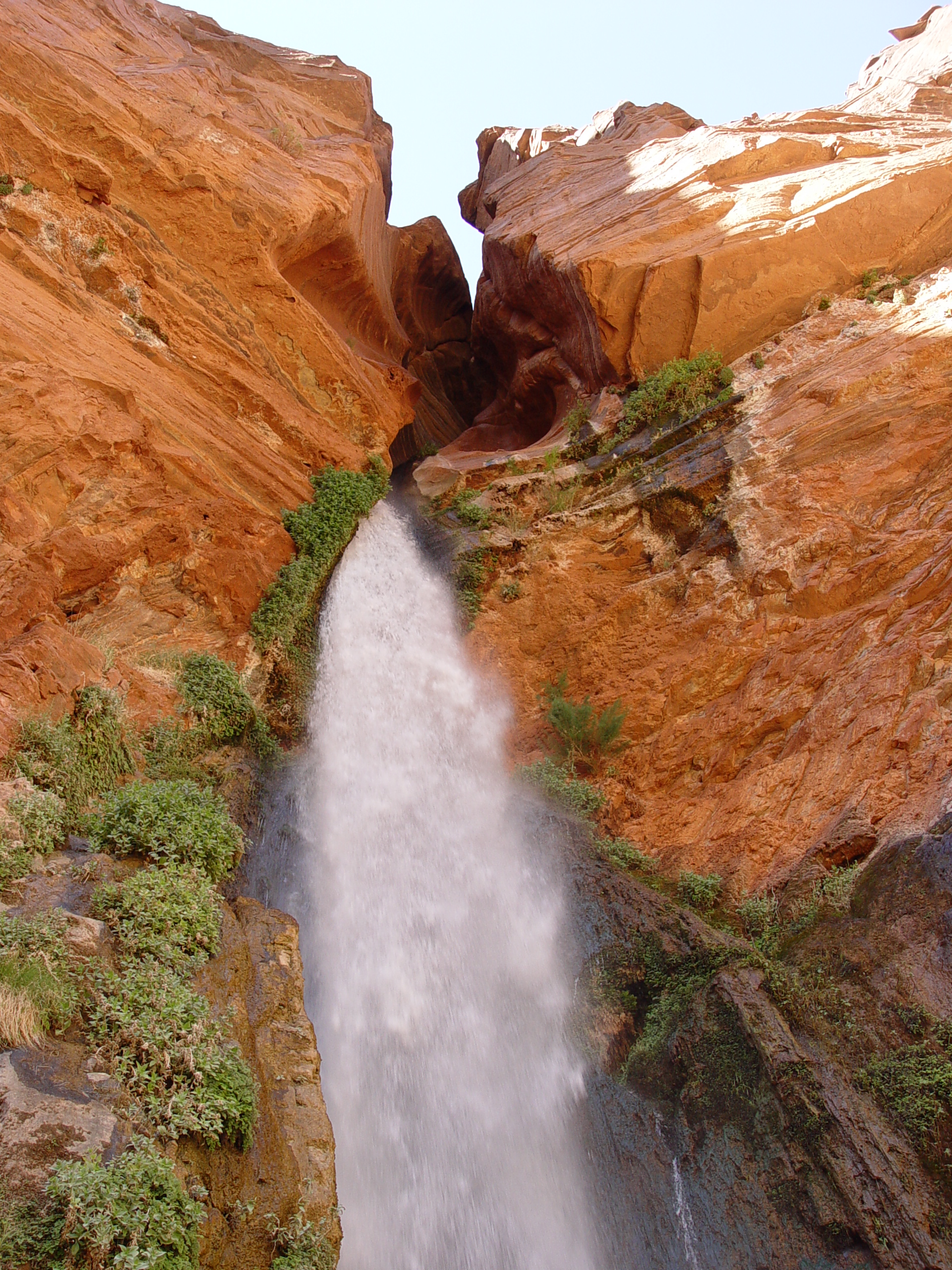
Deer Creek Narrows was carved into the Tapeats Sandstone when Deer
Creek was diverted east of its former course. Deer Creek Falls represents
the erosional nick point of a channel that is grossly out-of-equilibirum,
carving downward to re-establish its equilibrium gradient with local
base level (Colorado River).
_sm.jpg)
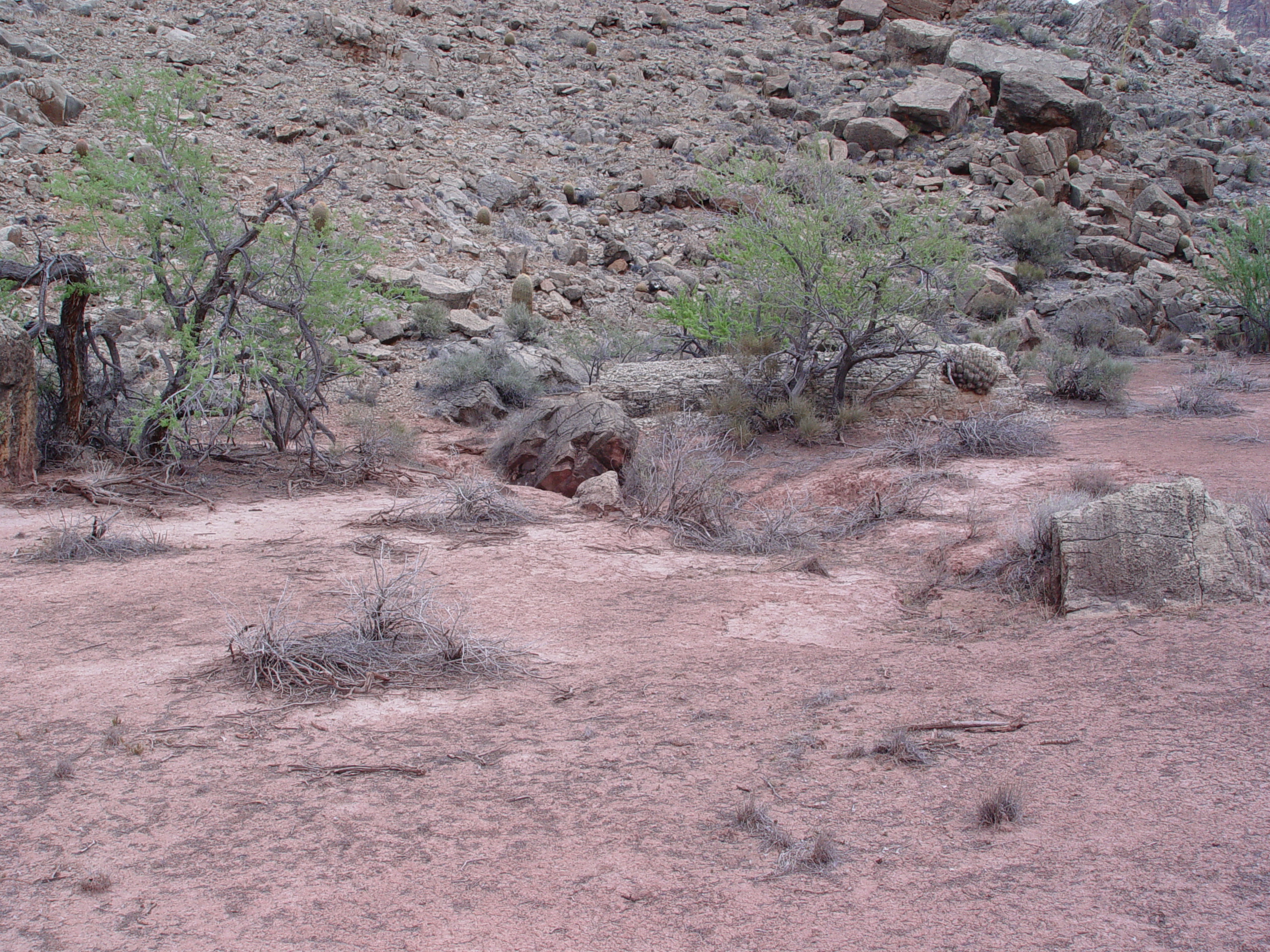
Another view of the entrance to the Deer Creek Narrows showing slide
debris filling the pre-slide channel at right.
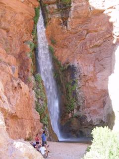

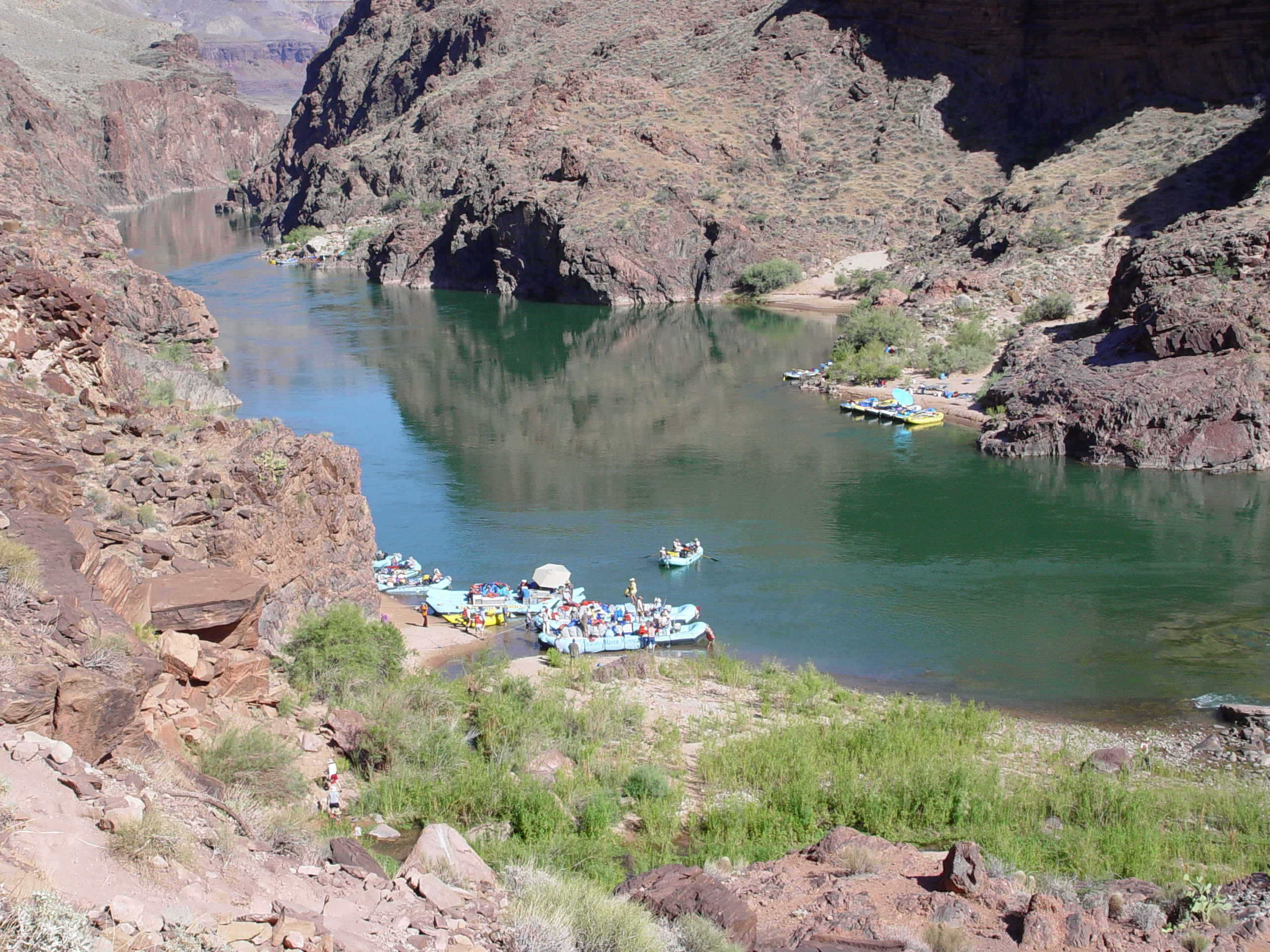
Deer Creek drops over 186 feet to the Colorado River at its mouth.
In geologic terms, waterfalls are temporary features, soon to be worn
away by running water and its abrasive sediment load. As with
the narrows, tourists can thank the Deer Creek Landslide for this
feature.
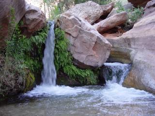
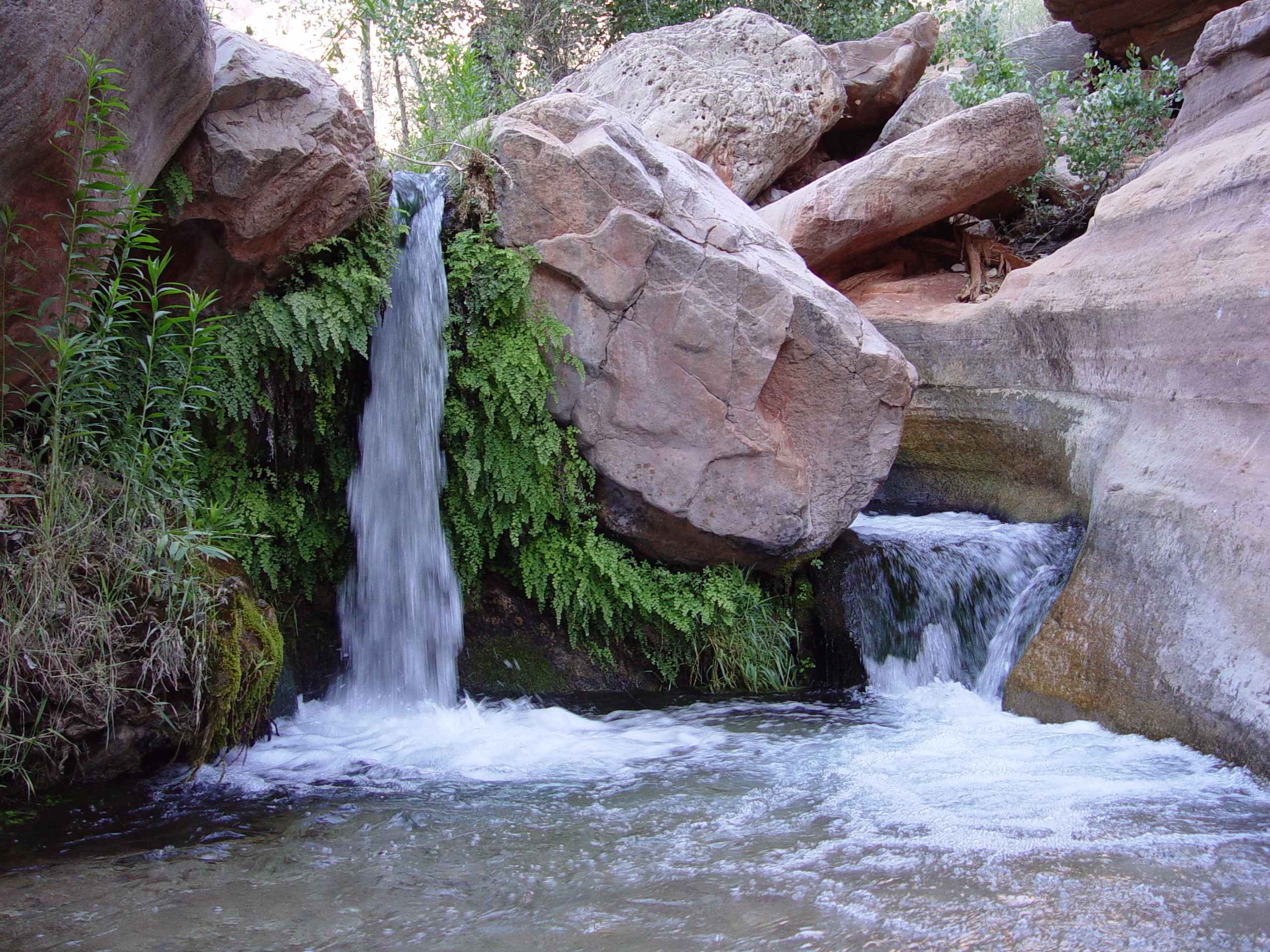
Several small waterfalls and cascades are present within the Deer
Creek Narrows, indicating that the stream is currently out-of-equilibrium
in this area.
A large zone of seeps emerges from the downstream toe of the Deer
Creek Landslide just to the west of Deer Creek Falls. Prior
studies by Peter Huntoon suggest that this water is being pirated
from Deer Creek through alluvium and landslide debris filling the
buried channel of proto Deer Creek.

Raft trips commonly stop at the base of Deer Creek Falls, where river
runners join backpackers in exploring Thunder River and Deer Creek.

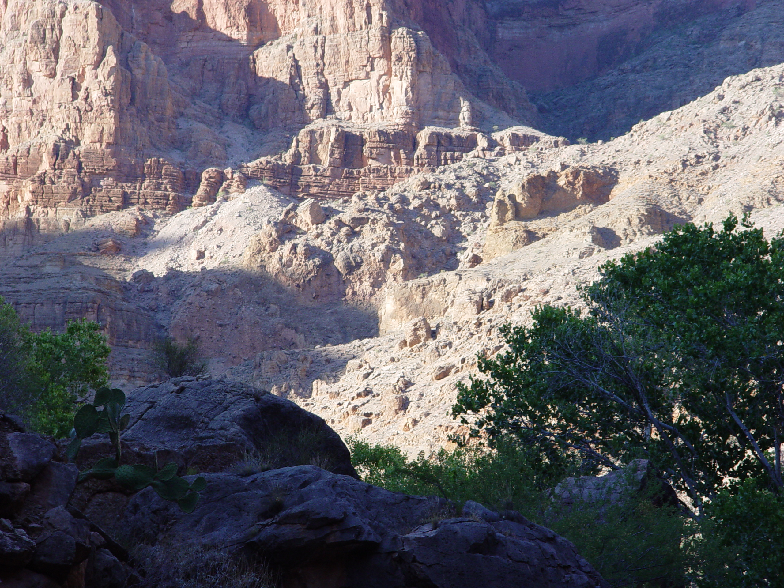
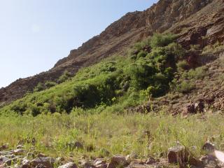
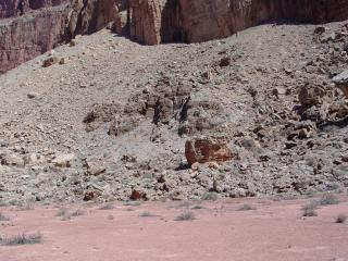
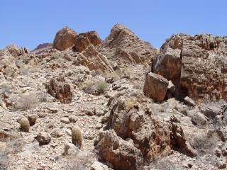
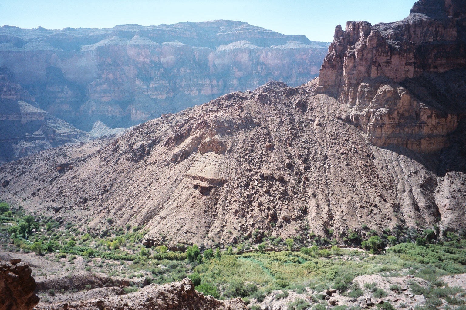
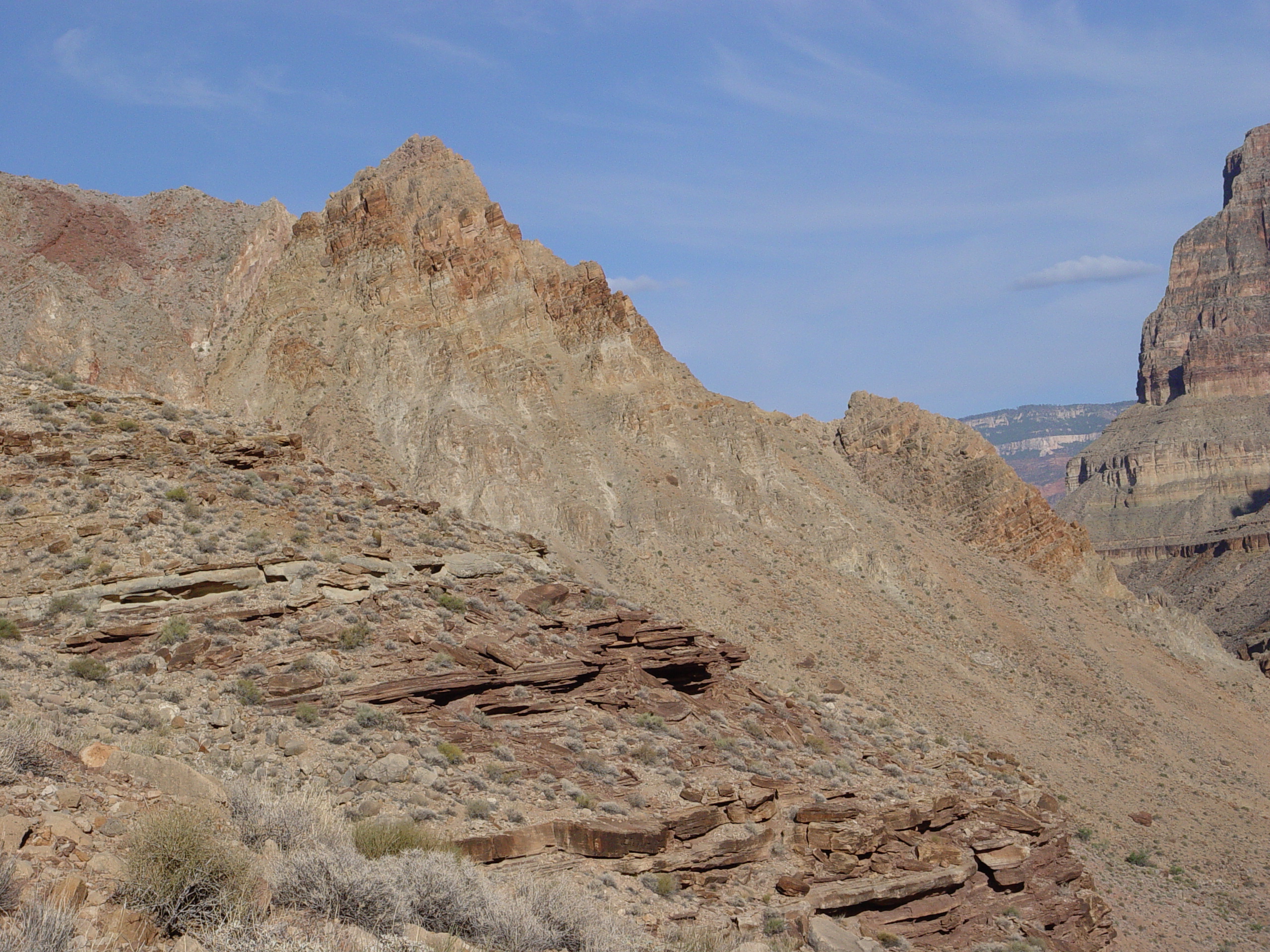
The Deer Creek Landslide as it appears from the trail heading into
Deer Creek from Surprise Valley. This is only the east end of
the slide complex which continues several kilometers downstream towards
Cranberry Canyon.
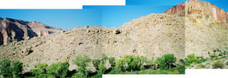
This three picture mosaic shows compound slumps, which developed within
the main Deer Creek Slide mass.
_sm.jpg)
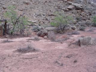
Deer Creek is filled with ancillary Quaternary deposits, such as these.
Some of these materials may have been deposited underwater, within
the lake formed behind the landslide dam.
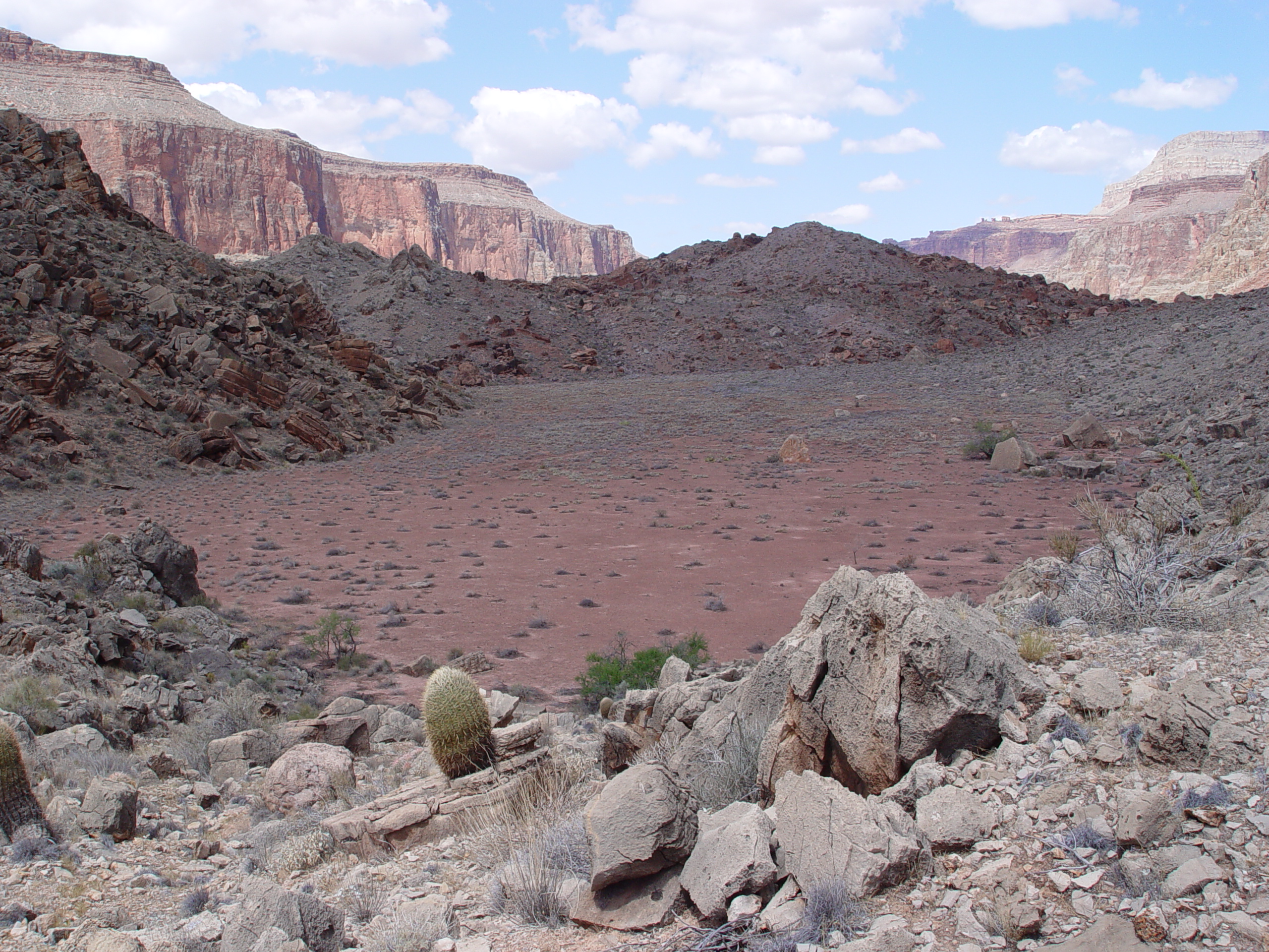
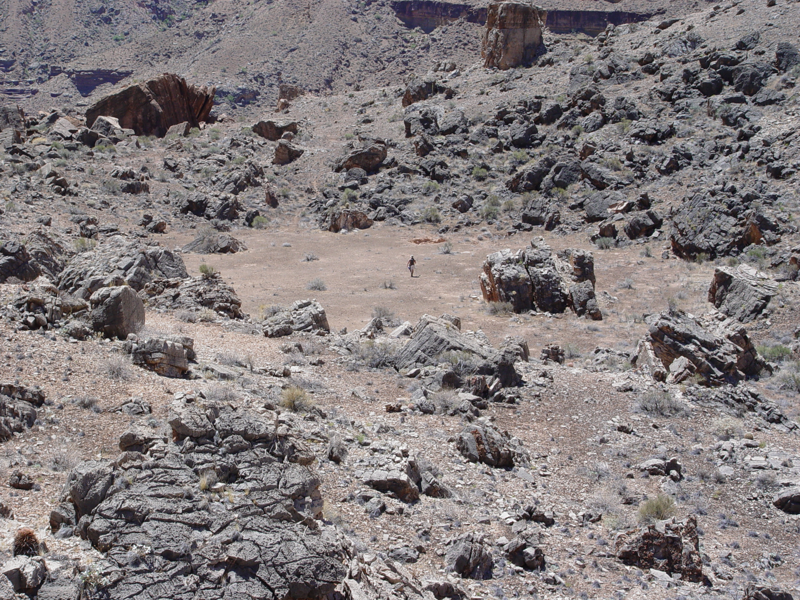
An infilled graben formed at the headscarp of the Deer Creek Landslide.
This graben is coloquially termed the "Anasazi Stadium".
It has been accumulating sediments and talus since its formation.
Anasazi Stadium is usually dry, but is filled with stratified
fine-grained sediment, typical of intermittent ponds. These
sediments are currently being analyzed using paylnology.

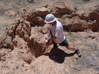
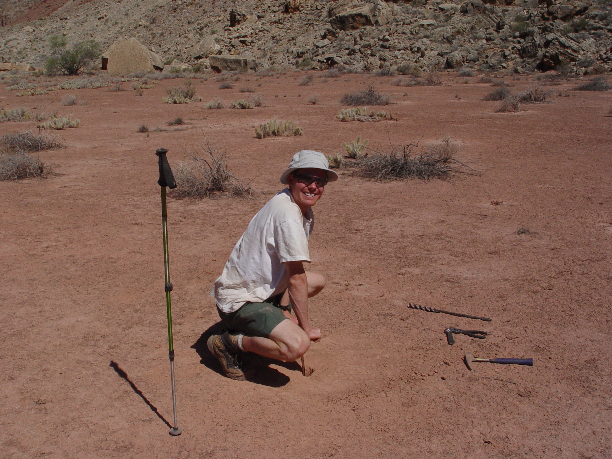
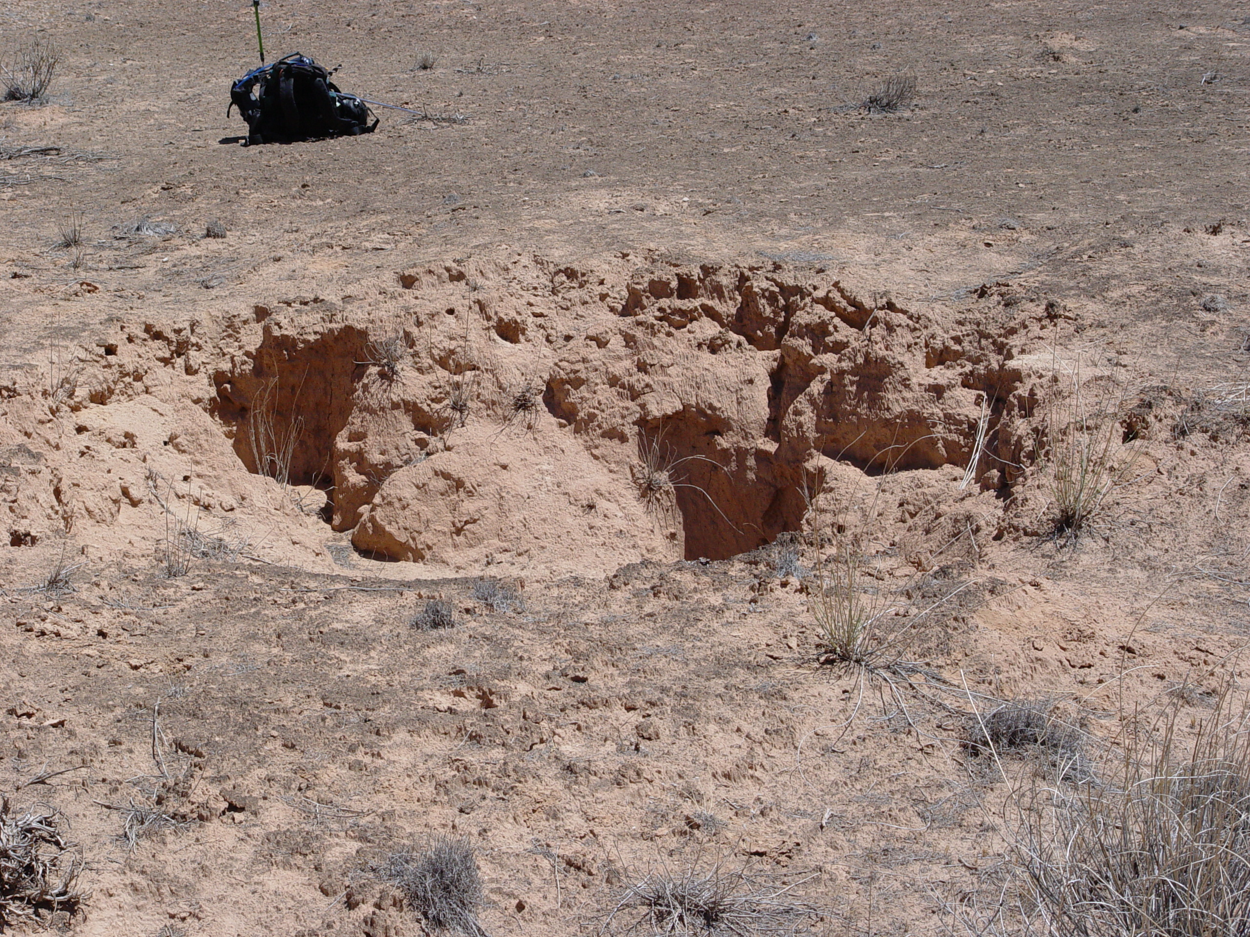
Conor driving a soil auger into the surface of Anasazi Stadium to
recover samples for palynology analysis. The auger punched through
these sediments very easily. This soil auger can only penetrate around
5.5 feet. Sediments in the graben may have accumulated to a
depth of 300 feet or more, but deeper sampling is not practical using
hand tools carried to the site over rough terrain.
Secondary sliver slumps coming off the Deer Creek Landslide headscarp
graben are partially buried in talus. Similar slumps are also
present behind the Fishtail and Surprise Valley Slide Complexes.
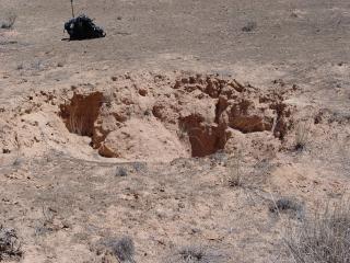
A small sinkhole has formed at the east end of Anasazi Stadium, suggesting
that material is piping into voids within the underlying slide debris.
This sinkhole feature is obstructed by large blocks of talus that
have fallen from the headscarp evacuation scarp, immediately above.

A smaller secondary graben has formed on the SE portion of the Deer
Creek Slide Complex. Although much smaller than the Anasazi
Stadium feature, this graben also contains fine grained sediments
that appear to be of lacustrine origin.
The secondary graben also contains a small sinkhole about 5 feet deep
and 15 feet in diameter, indicating that fines are being piped into
underlying voids within the slide mass.
The sinkhole within the secondary slide graben is not obstructed
by talus. This allowed us to sample the fine grained sediments deeper
than would have otherwise been possible. Samples were taken
in the side of this sinkhole to reach a depth of 8-9 feet below the
surrounding surface. These samples are currently being analyzed
using palynology.
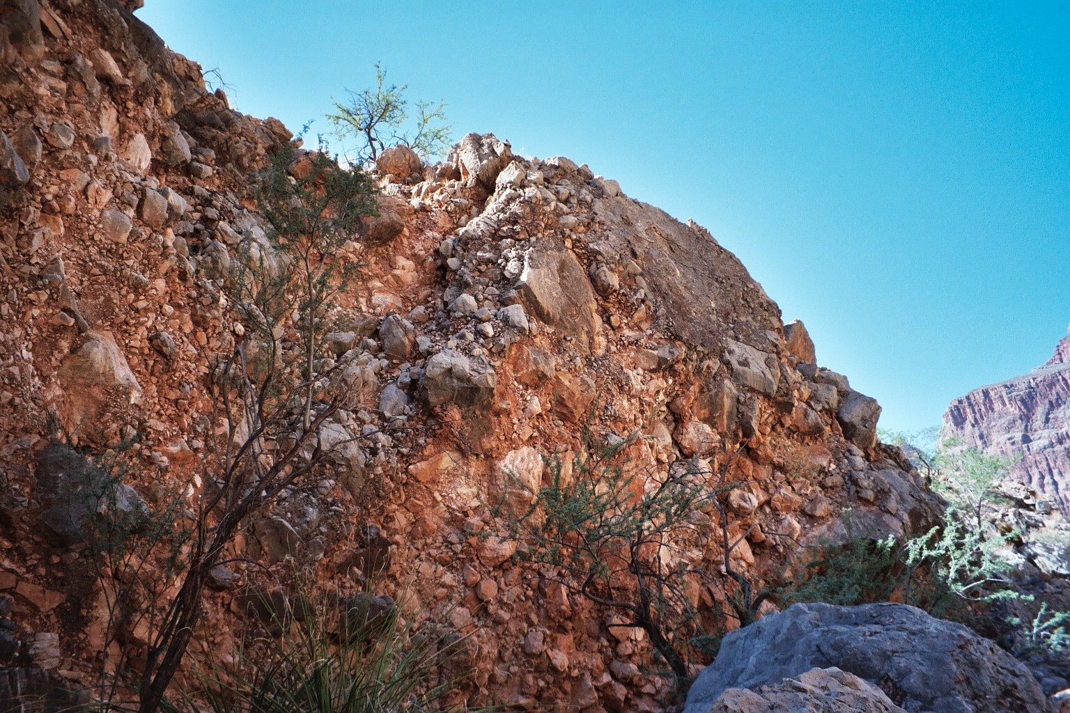
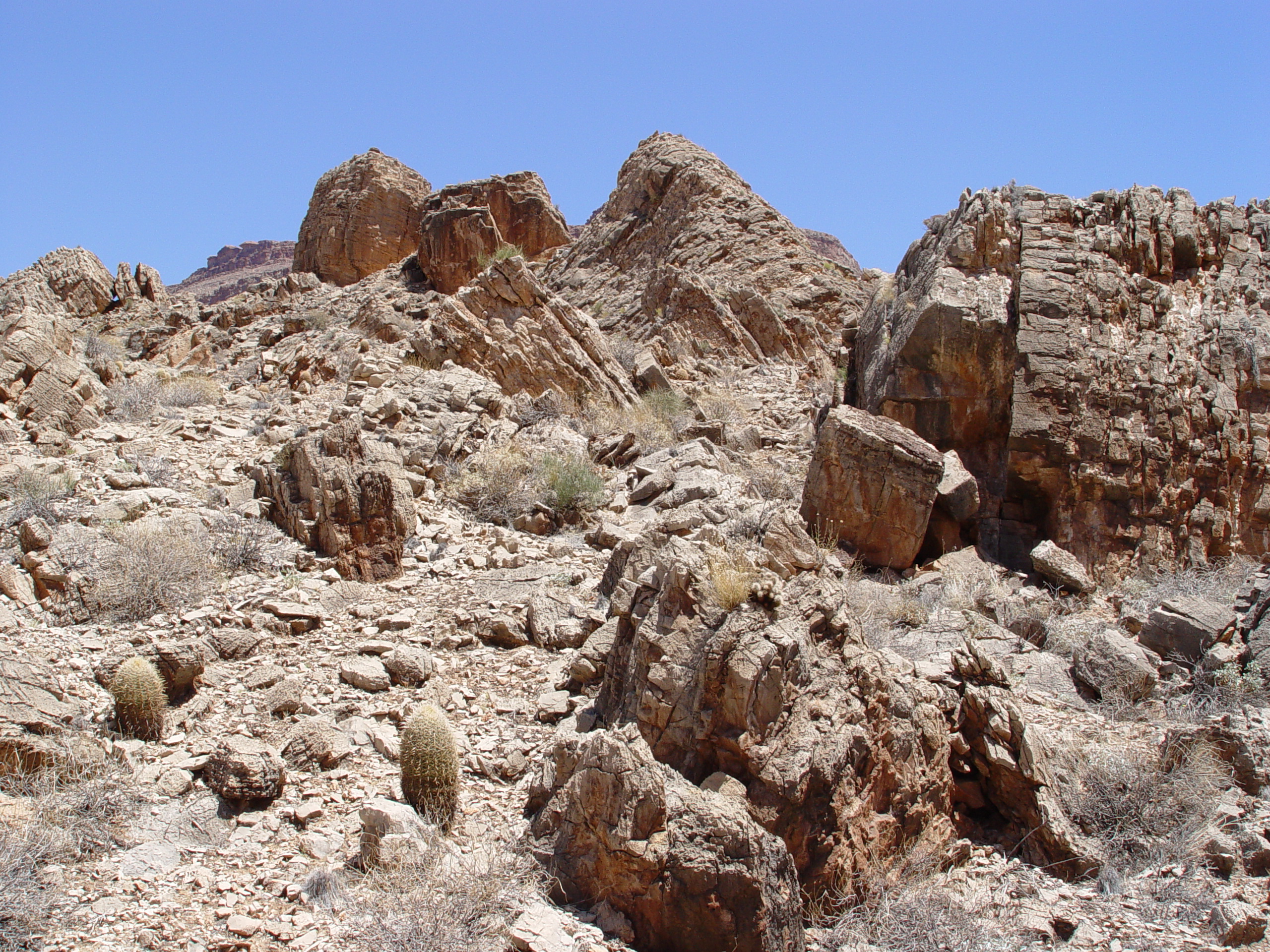
The face of the Deer Creek Slide is covered by large blocks of rock.
One must traverse this type of terrain to study most of the landslides
in the Grand Canyon.

The main Deer Creek Landslide Block viewed from the west, where a
considerable portion of slide material has been removed by erosion.
Back rotation of the displaced blocks is a typical feature of Toreva
block landslides. Note the secondary block at far right.

This wash through the Deer Creek Slide has carved through a small
slide present in the Bright Angel Shale just above the Tapeats Sandstone.
Slides east of Deer Creek tend to fail above the Rampart Cave Member
of the Muav Formation while those west of the creek often have portions
failing both above and below the Rampart Cave Member. The Deer
Creek Slide has several portions such as this that failed below the
Rampart Cave Member.
_sm.jpg)
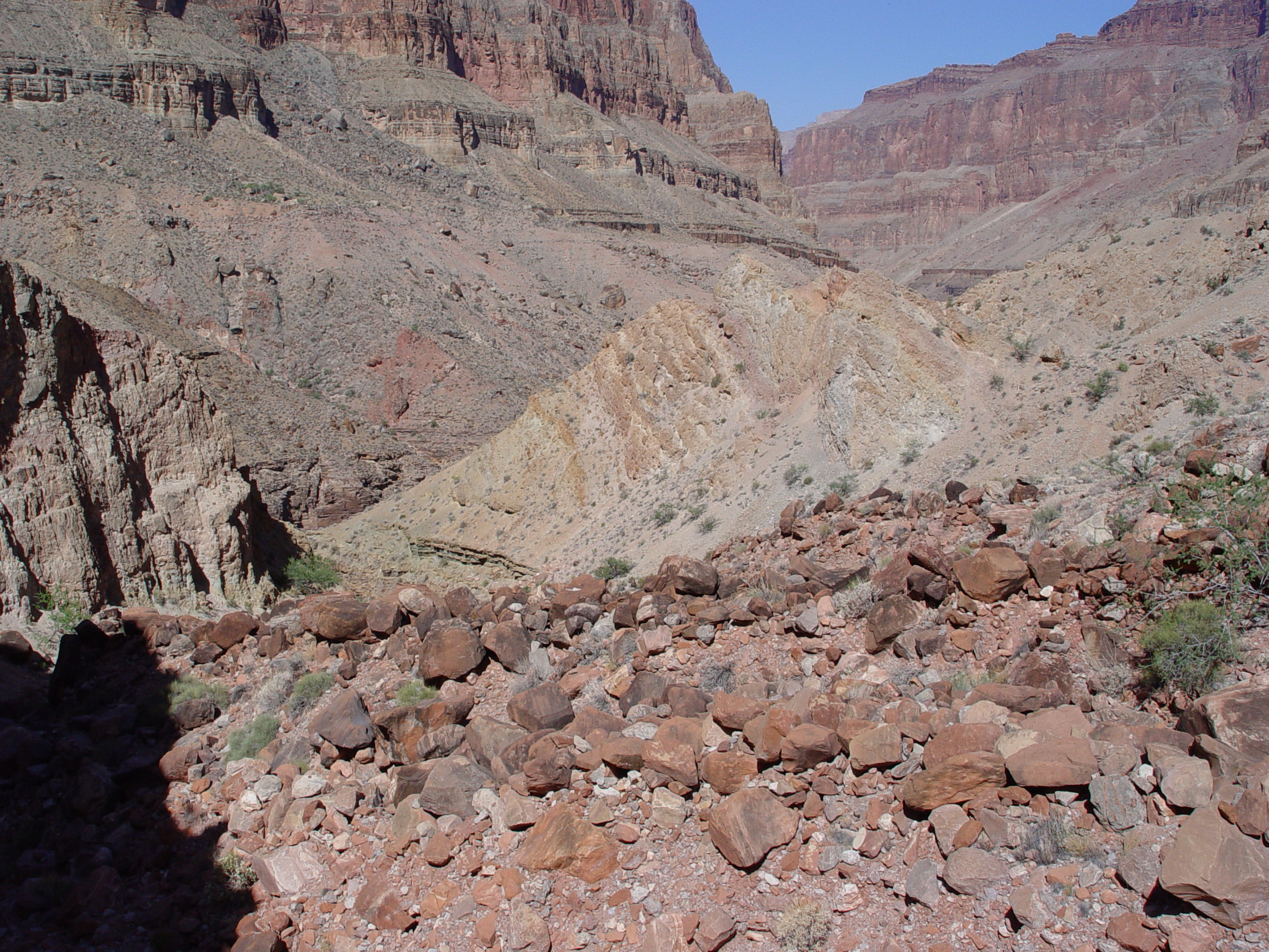
This view looking towards the Deer Creek Slide from the west shows
two interesting features. The buried channel of the Colorado
River in the Tapeats Sandstone is visible in the lower left portion
of this image. Run-up deposits from the slide are visible on
the south (right) side of the river. The dark inclined layer
is a portion of the Rampart Cave Member that has been displaced by
the slide and deposited on the opposite side of the canyon.
This layer covers indurated slope wash that may be old colluvium.

Several smaller slides have slid down from Cogswell Butte and the
saddle leading to Surprise Valley, both of which are just east of
Deer Creek. These slides are highly brecciated and have been
cemented by travertine.

Closeup of travertine cemented slide debris east of Deer Creek along
the trail heading from Surprise Valley into Deer Creek.
Questions or comments
on this page?
E-mail Dr. J David Rogers at rogersda@umr.edu
or
Conor Watkins at cwatkin@umr.edu.


.JPG)


.JPG)


.JPG)