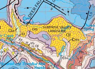
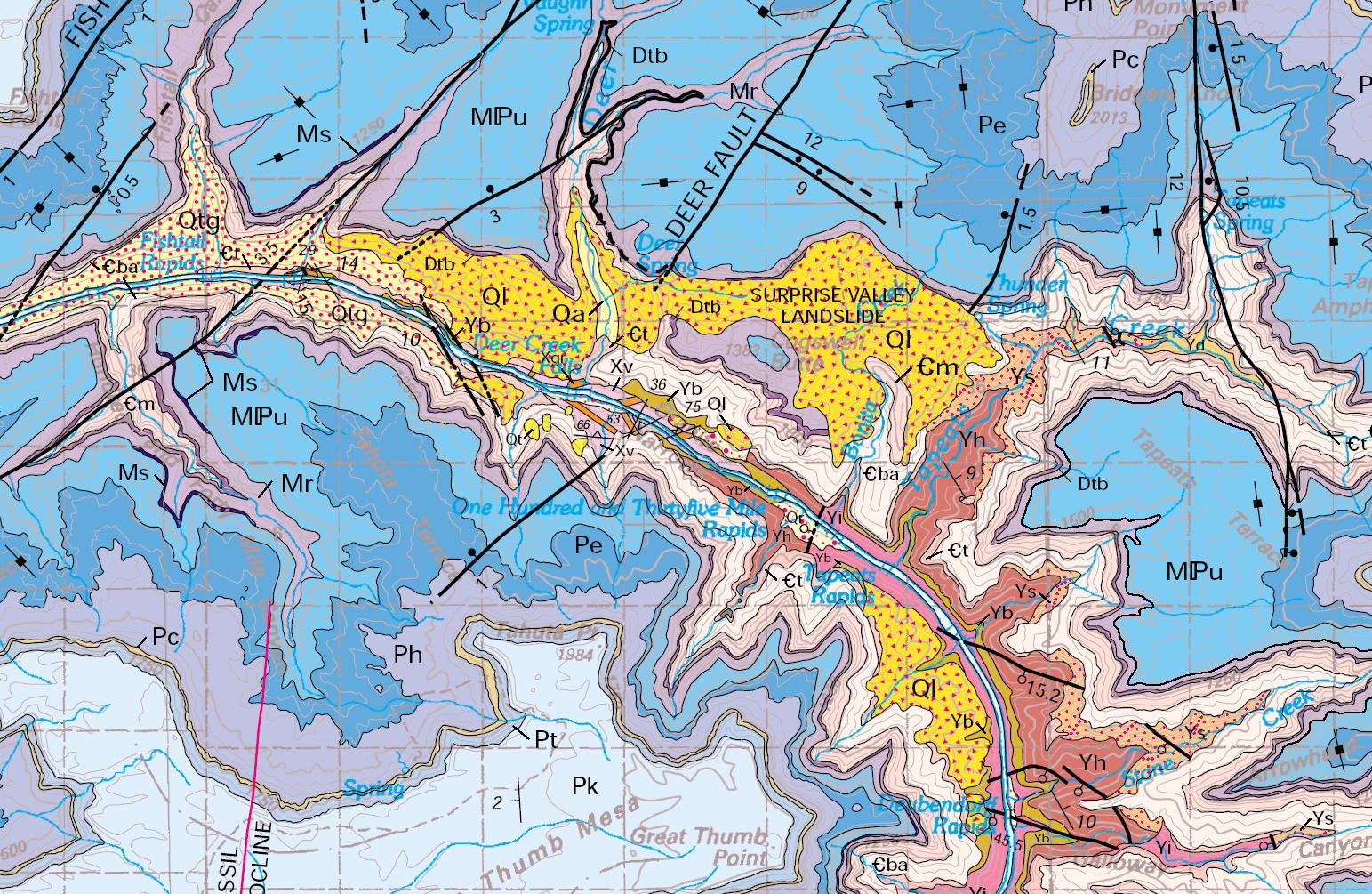
The geologic map of the Grand Canyon 30' X 60' Quadrangle shows
much of the extent of the Surprise Valley Landslide Complex, a series
of Toreva block type slides with an estimated combined volume of over
one cubic mile.
_sm.JPG)
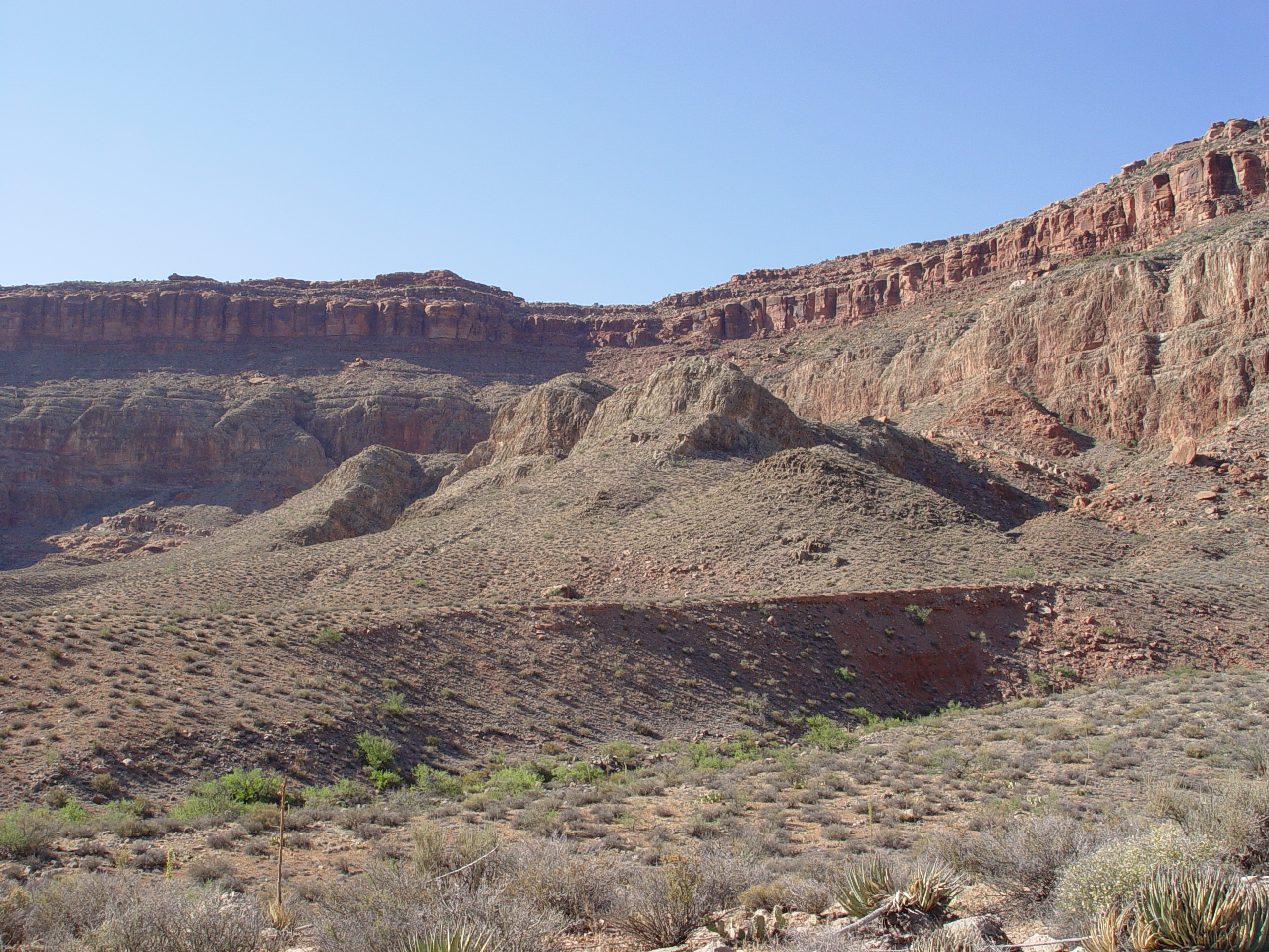
This photo taken in the late afternoon sun from the Esplanade shows
some of the youngest landslides in Surprise Valley. The Surprise
Valley Landslide Complex is too large to comprehend from any one vantage
point.
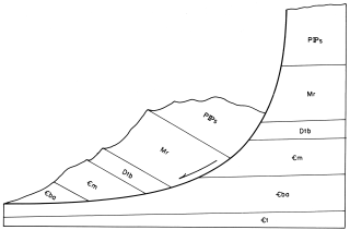
Cross sectional sketch of a typical Toreva Block in Surprise Valley
with a log spiral shapped basal failure surface developed in the Bright
Angel Shale. Taken from "Geology of The Grand Canyon, 3rd
Edition", 1979.

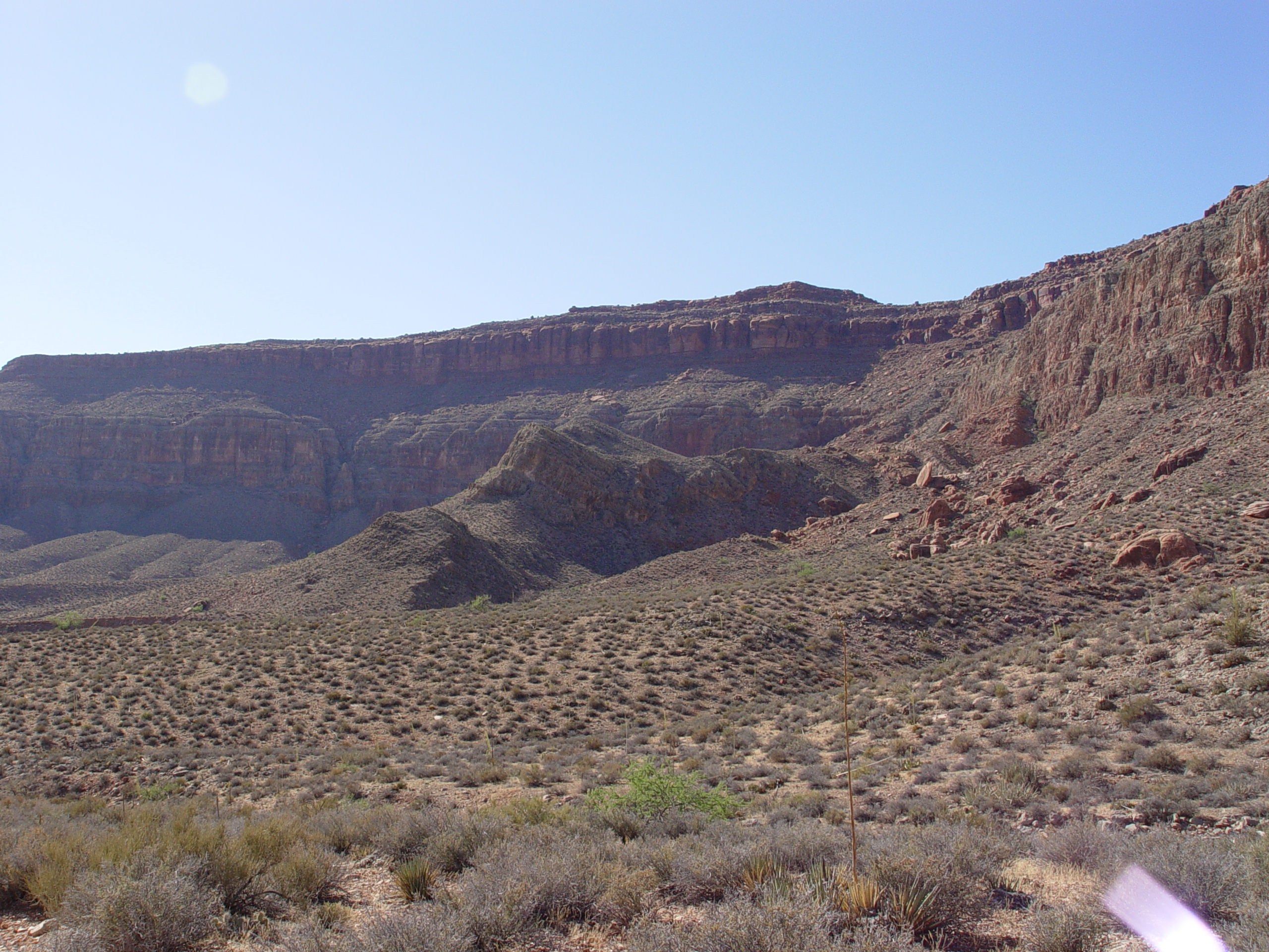
Ground view of three secondary landslides at the northern margin of
Surprise Valley. These slides initiated in the Bright Angel
Shale and progressed up through the Supi Formations as sketched in
the diagram above.
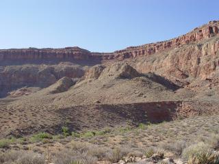
Another view of the three secondary slides, as seen from within Surprise
Valley.

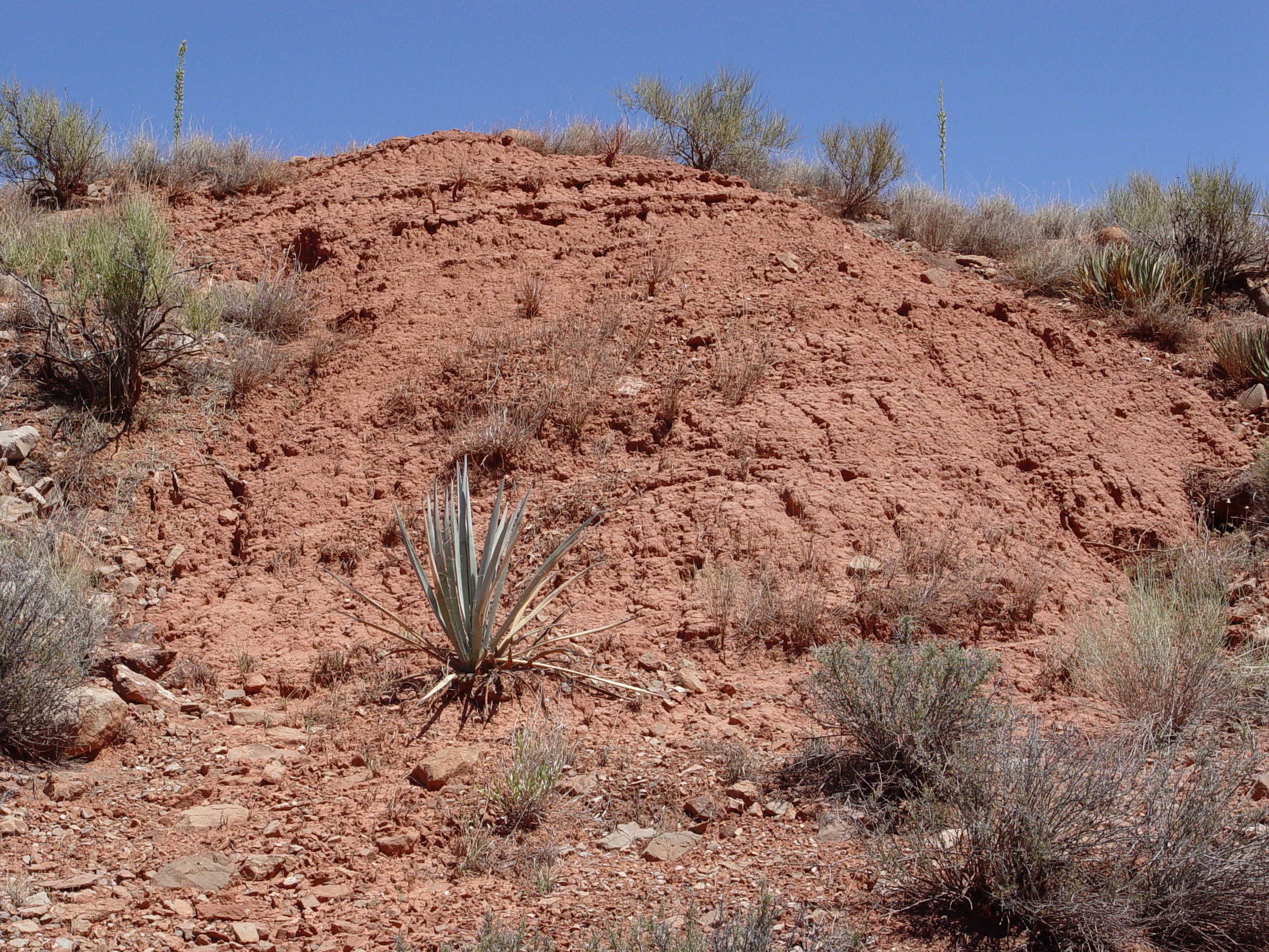
Lacustrine sediments deposited in the main Surprise Valley Landslide,
when the graben was an enclosed basin without a drainage outlet.
This depression was subsequently breached by headward erosion of Bonita
Creek. These beds gently dip towards the depoaxis of the old
graben. From the samples recently recovered we were able to
identify 18 pollens and spores, one freshwater algae, and fungal hyphae.
Questions or comments
on this page?
E-mail Dr. J David Rogers at rogersda@umr.edu
or
Conor Watkins at cwatkin@umr.edu.

.JPG)