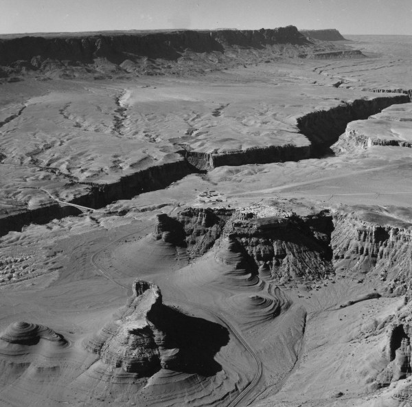
Aerial
oblique view of the Navajo Bridge area of the Vermillion Cliffs near
Lee’s Ferry, at Mile 4. The Moenkopi shales at the base
of the escarpment are unusually rounded and subdued, suggesting that
they were inundated beneath lake waters in the relatively recent geologic
past. These cliffs would have been inundated by lakes impounded
behind the highest lava dams (up to elevation 4125 feet).

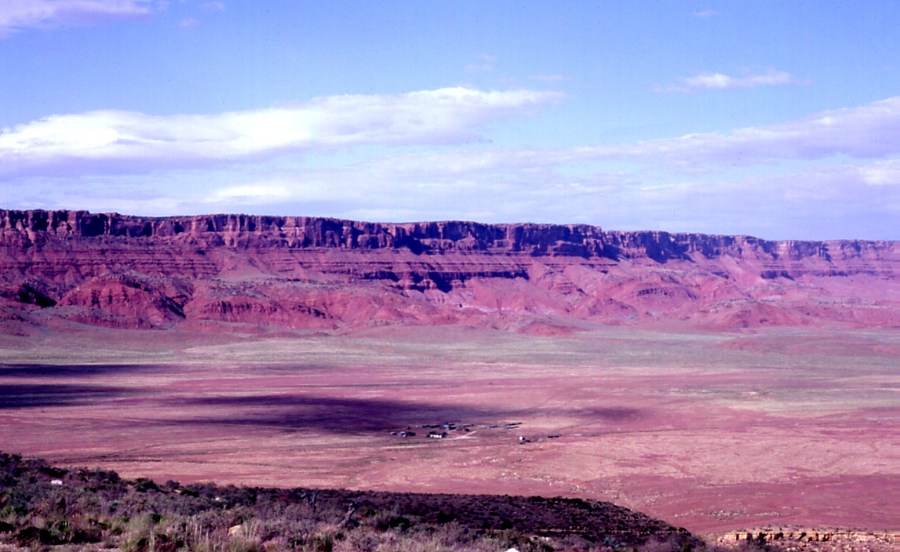
The
colorful escarpment of the Vermillion Cliffs, between Grand Canyon and
Zion National Parks. The Vermillion Cliffs are comprised exclusively
of Mesozoic age sediments, which have spawned an impressive array of
Toreva Block landslides, initially described by Strahler (1940).
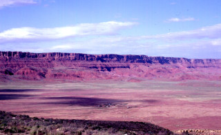
View looking northeast at the hummocky topography that typifies the
base of the Vermillion Cliffs escarpment. The hummocks are formed
by a series of retrogressive Toreva Block landslides, suggestive of
rapid cliff retreat when the Chinle Shale was much wetter than at present.
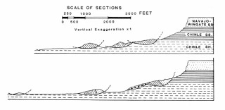
Arthur Straher’s cross sections through the massive Toreva Block
bedrock slump landslides along the base of the Vermillion Cliffs. The
Chinle Shale loses significant shear strength when saturated, but these
failure surfaces lie above 4,400 feet, well above the maximum level
of inundation caused by the lava dams in the western Grand Canyon.
Questions
or comments on this page?
E-mail Dr. J David Rogers at rogersda@umr.edu.

|